What is recorded here
On level, reclaimed pasture. Not marked on any edition of the OS 6-inch map. Remains comprise a intermident line of stones, aligned roughly E-W, which barely protrudes above ground level.
Compiled by: Patrick F. O'Donovan
Date of upload: 10 May 2013
The monument record does not grant public access. Check the route and ask the landowner before entering private land.
- What survives
- Recorded monument
Places near here
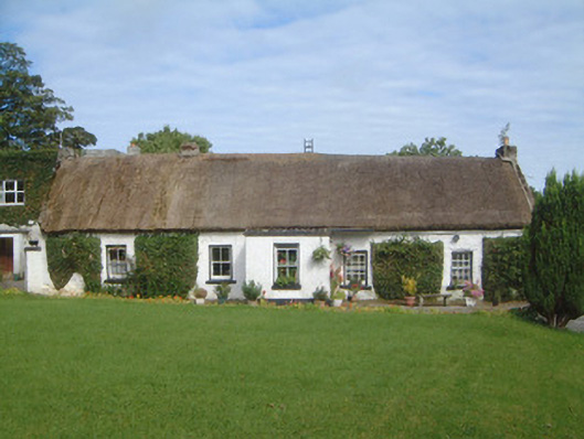 Gorteen Farmhouse · 421 yd
 AltarCross · 623 yd
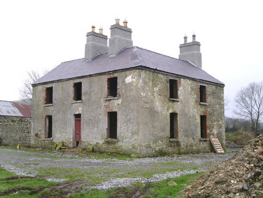 Hollyfield Househouse · 642 yd
 Holy well in KeelogesHoly well · 1296 yd
 Gleniff Horseshoe Drive 2Viewpoint · 1421 yd
 Gleniff Horseshoe DriveViewpoint · 1530 yd
 Cormac Reagh's HoleCave · 1.4 mi
 BenwiskinMountain / peak · 1.8 mi
 Creevykeel Court TombNeolithic court tomb · 2.1 mi
 TievebaunMountain / peak · 2.2 mi
 Eagle's RockMountain / peak · 2.8 mi
 Dermot & Grania's BedCave · 2.9 mi