What is recorded here
In pasture, located on a ridge, close to the break of slope on the NE side, overlooking a flat expanse of lowlying damp pasture to N–NE. Shown as roughly oval, embanked enclosure (25-30m NW–SE; c. 20m NE–SW) on the 1838 OS 6-inch map but not shown on the 1930 edition. This enclosure has been levelled; a very slight subcircular undulation (diam. c. 25m) can still be traced at ground level.
Compiled by: Jane O’Shaughnessy
Date of upload: 1 April 2020
The monument record does not grant public access. Check the route and ask the landowner before entering private land.
- What survives
- Recorded monument
Places near here
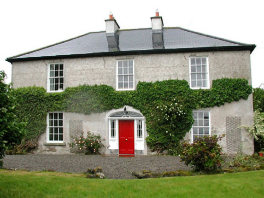 Barnfield Housefarm house · 272 yd
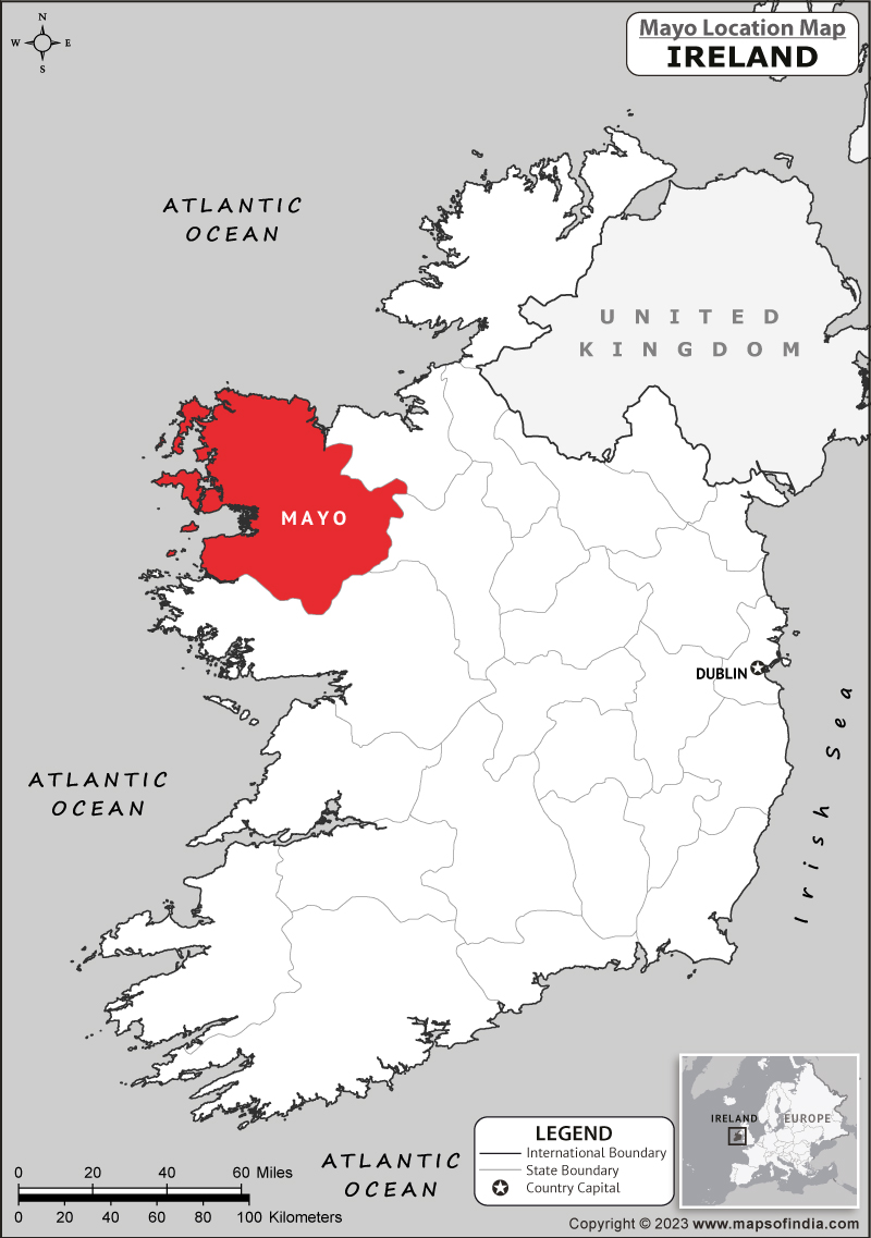 IndicatedFairy fort / earthen ringfort · 637 yd
 Enclosure in CorroyEnclosure · 1095 yd
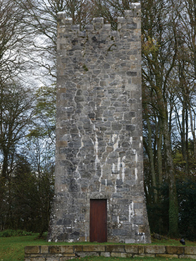 Mount Falconbuilding misc · 1520 yd
 Castle (in ruins)Castle, unclassified · 1565 yd
 Gull IslandIslet · 1707 yd
 Cloghans CastleCastle, tower house · 1.4 mi
 Roe IslandIslet · 4.3 mi
 Battle of Ballinabattle · 4.3 miHumbert MonumentMemorial · 4.4 mi
 Drummin ForestForest · 4.6 mi
 Lough CullinViewpoint · 4.7 mi