What is recorded here
Situated on a S-facing slope down to the W-E River Delvin which is c. 75m distant. It is also on the E bank of a mill-race that originated far upstream and an overflow mill-race is on its E side. According to the Civil Survey (1654) in 1641 Lord Gormanston, an Irish Papist, owned 390 acres at Gormanston, and on the premises were a stone house with outhouses, by which is meant the castle, about ‘20 farm houses in the town’ and two water mills (Simington 1940, 10). A functioning corn mill is marked here W of the Balrothery to Drogheda road on the 1836 and 1908 editions of the OS 6-inch map. The mill was known as Arnold’s mill from a tenant named Arnold who was evicted from it in 1881 (B. Matthews, Drogheda Independent, 07/05/1999). A direct connection with the seventeenth century mill cannot be established but is very likely. The remains of a small structure still survives, overgrown with ivy (pers. com. I. Lennon 14/02/2013).
Compiled by: Michael Moore
Date of upload; 11 April, 2023
Simington, R. C. 1940 The Civil Survey AD 1654-1658 vol. 5, County of Meath. Stationary Office, Dublin
The monument record does not grant public access. Check the route and ask the landowner before entering private land.
- What survives
- Recorded monument
Places near here
 SycamoreSycamore · 399 yd
 Gormanston CastleCastle · 523 yd
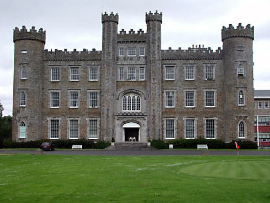 Gormanston Collegecastle/fortified house · 526 yd
 ChapelChurch · 538 yd
 Man-made underground passage in Gormanstown DemesneMan-made underground passage · 545 yd
 European YewEuropean Yew · 585 yd
 TobersoolHoly well · 1022 yd
 Ben HeadCliff · 1.6 mi
 Clonard SpringSpring · 2.3 mi
 CastleHouse, fortified house · 2.5 mi
 Balbriggan Tourist OfficeVisitor information · 3.1 mi
 Seamus Ennis Cultural CentreMemorial · 3.9 mi