What is recorded here
Situated on a gentle SW-facing slope in landscaped demesne lands SW of Goldenfort House. Circular platform (diam. 30m; H 1m) with no trace of a bank, fosse or internal features. Human bones, including three skulls, were found during sand extraction at beginning of this century on the NE side. The site appears to have been utilised as a landscape feature, probably a tree-ring in the 18th century. (Price 1937, 127)
The above description is derived from the published 'Archaeological Inventory of County Wicklow' (Dublin: Stationery Office, 1997). In certain instances the entries have been revised and updated in the light of recent research.
Date of upload/revision: 17 December 2008
A Neolithic burial monument, likely a simple circular earthwork; its significance lies in the presence of human remains, indicating a site of ritual or funerary use during the Neolithic period.
The monument record does not grant public access. Check the route and ask the landowner before entering private land.
- What survives
- Recorded monument
Places near here
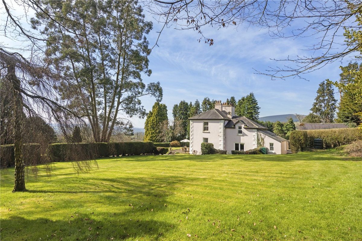 Goldenfort HouseRuins · 269 yd
 IndicatedEnclosure · 570 yd
 Font in GoldenfortFont · 571 yd
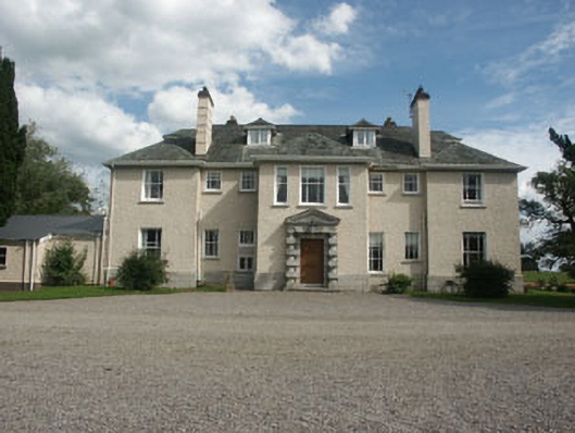 Saundersgrovecountry house · 1220 yd
 Tinoran HillMountain / peak · 1.5 mi
 Ballyhook HillMountain / peak · 1.6 mi
 Bawn in Ballintruer BegBawn · 2.7 mi
 CastlerudderyCastle, unclassified · 2.8 mi
 English hollyEnglish holly · 3.6 mi
 Saint Brigit's Mass StoneNamed rock · 3.7 mi
 Saint Brigit's ChairNamed rock · 3.8 mi
 European ashEuropean ash · 3.9 mi