What is recorded here
On flat poorly drained pasture in an upland region with good views in all directions. A slightly raised circular area (diam. N-S 35m) defined by a low poorly preserved earth and stone bank (Wth 1.5m-3m; int. H 0.1m; ext. H 0.25m) consisting mainly of loosely piled stones with no evidence of an external fosse. There is a possible entrance gap (Wth 4m) at the W. The interior was waterlogged at time of inspection and the area around the monument is very wet which is not typical for a ringfort.
Compiled by: Jean Farrelly
Date of upload: 26 August 2011
The monument record does not grant public access. Check the route and ask the landowner before entering private land.
- What survives
- Recorded monument
Places near here
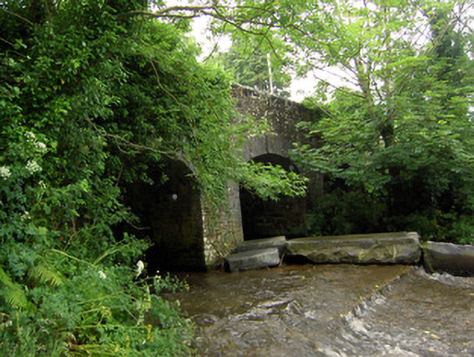 Rossmore Bridgebridge · 1.2 mi
 Field system in Carrow (donohill Par.)Field system · 1.2 mi
 IndicatedEnclosure, large enclosure · 1.2 mi
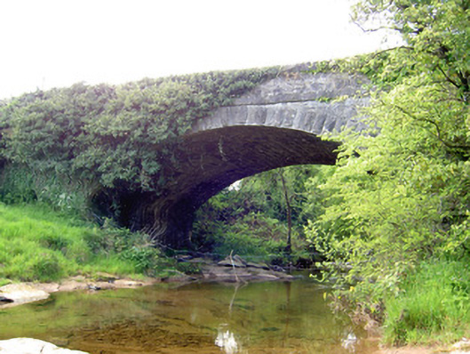 Carrow Bridgebridge · 1.4 mi
 Ring HillMountain / peak · 1.7 mi
 Drum WoodWood · 2.2 mi
 GlenaneaghMountain / peak · 2.4 mi
 Gortard WoodForest · 3.1 mi
 Ballagh CastleCastle · 3.1 mi
 Graigone Castle (in ruins)House, fortified house · 3.8 mi
 I.R.A. 3rd. Tipperary Brigade MemorialMemorial · 11 mi
 It's a long way to TippereryHeritage attraction · 11 mi