
What is recorded here
Indicated on 1904 OS 6-inch map on N side of mid/late 19th-century road. Random-rubble shale construction. Front elevation (NE) has stone-arched recess (H c. 1.8m) with dressed limestone voussoirs, second lower internal arch, rear of recess removed.
The above description is derived from the published 'Archaeological Inventory of County Cork. Volume 4: North Cork' (Dublin: Stationery Office, 2000). In certain instances the entries have been revised and updated in the light of recent research.
Date of upload/revision: 14 January 2009
The monument record does not grant public access. Check the route and ask the landowner before entering private land.
- What survives
- Recorded monument
Places near here
 Fulacht fia in GlenacarneyFulacht fia · 1.0 mi
 Rockchapel Burial GroundGraveyard · 1.3 mi
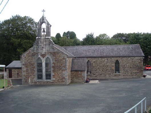 Saint Peter's Churchchurch/chapel · 1.7 mi
 KilnKiln, lime · 1.8 mi
 Three CountiesPicnic place · 2.8 mi
 TaurMountain / peak · 2.9 mi
 KnockacummerMountain / peak · 3.3 mi
 Mullaghareirk - Banane LoopWalking route · 5.8 mi
 Castle McAuliffe (Site of)Castle, unclassified · 8.2 mi
 Glenquin CastleCastle · 8.2 mi
 Saint Ite's WellSpring · 8.7 mi
 TobereenalaffinaSpring · 9.2 mi
Other information
Photo: Credit not shown in the picture search · Rights wording not checked; contact us if this picture should be removed