
What is recorded here
From the National Monuments Service (Archaeological Survey of Ireland) record CO041-117001
Places near here
Photo credits
- Maker not stated on source page, www.pinterest.com
- Tim Sheerman-Chase, Wikimedia Commons · CC BY 2.0
- Maker not stated on source page, en.wikipedia.org
- Maker not stated on source page, ie.polomap.com
- Maker not stated on source page, www.alamy.com
- Maker not stated on source page, tr.pinterest.com
- Maker not stated on source page, uk.pinterest.com
- Maker not stated on source page, ca.pinterest.com
- Chani Anderson / EchoLive, www.echolive.ie
- Maker not stated on source page, commons.wikimedia.org
 Saint Columba's CemeteryGraveyard · 1168 yd
Explorer Tom Saint Columba's Cemetery hates visitors who talk too loudly, so keep your voice down or the dead will get annoyed with…
 LisheenbegFairy fort / earthen ringfort · 1723 yd
Explorer Tom Lisheenbeg is a heavily overgrown circle with an entrance on the east side. There’s an underground passage inside…
 LisheentoortaghFairy fort / earthen ringfort · 1.0 mi
Explorer Tom Lisheentoortagh is called 'Little fort of the Royal Palace' by Bowman, which is a bit grand for a ringfort. It has a…
 Church in Carrigcleena MoreChurch · 1.1 mi
Explorer Tom Church in Carrigcleena More is just grass-covered mounds in a field where nobody quite knows where the actual church…
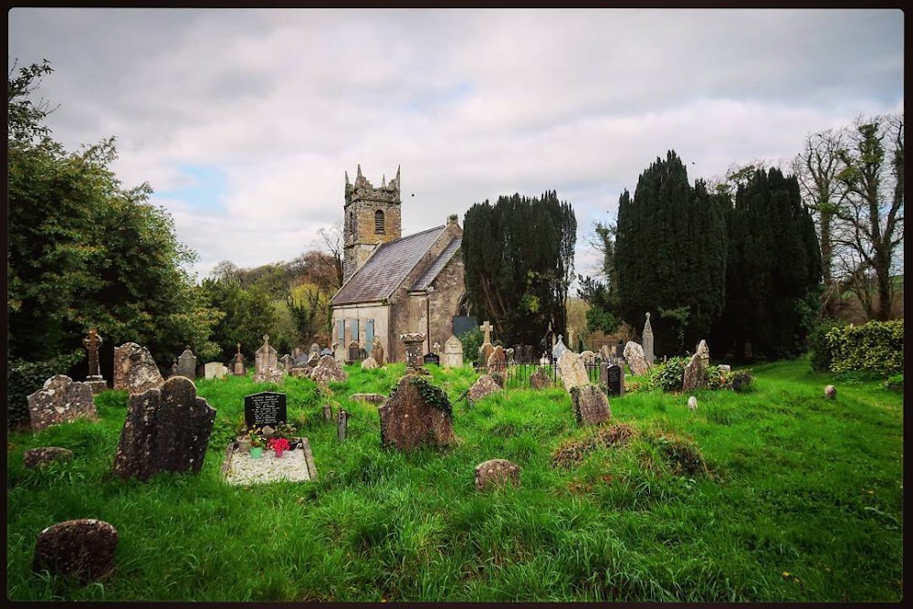 Graveyard in Carrigcleena MoreGraveyard · 1.1 mi
Explorer Tom Graveyard in Carrigcleena More is just some grass-covered mounds now, which makes it a very lazy sort of monument. It’s…
 Fairy fort / earthen ringfort in Carrigcleena MoreFairy fort / earthen ringfort · 1.2 mi
Explorer Tom Fairy fort / earthen ringfort in Carrigcleena More was destroyed by quarrying, so it’s basically history. Locals say…
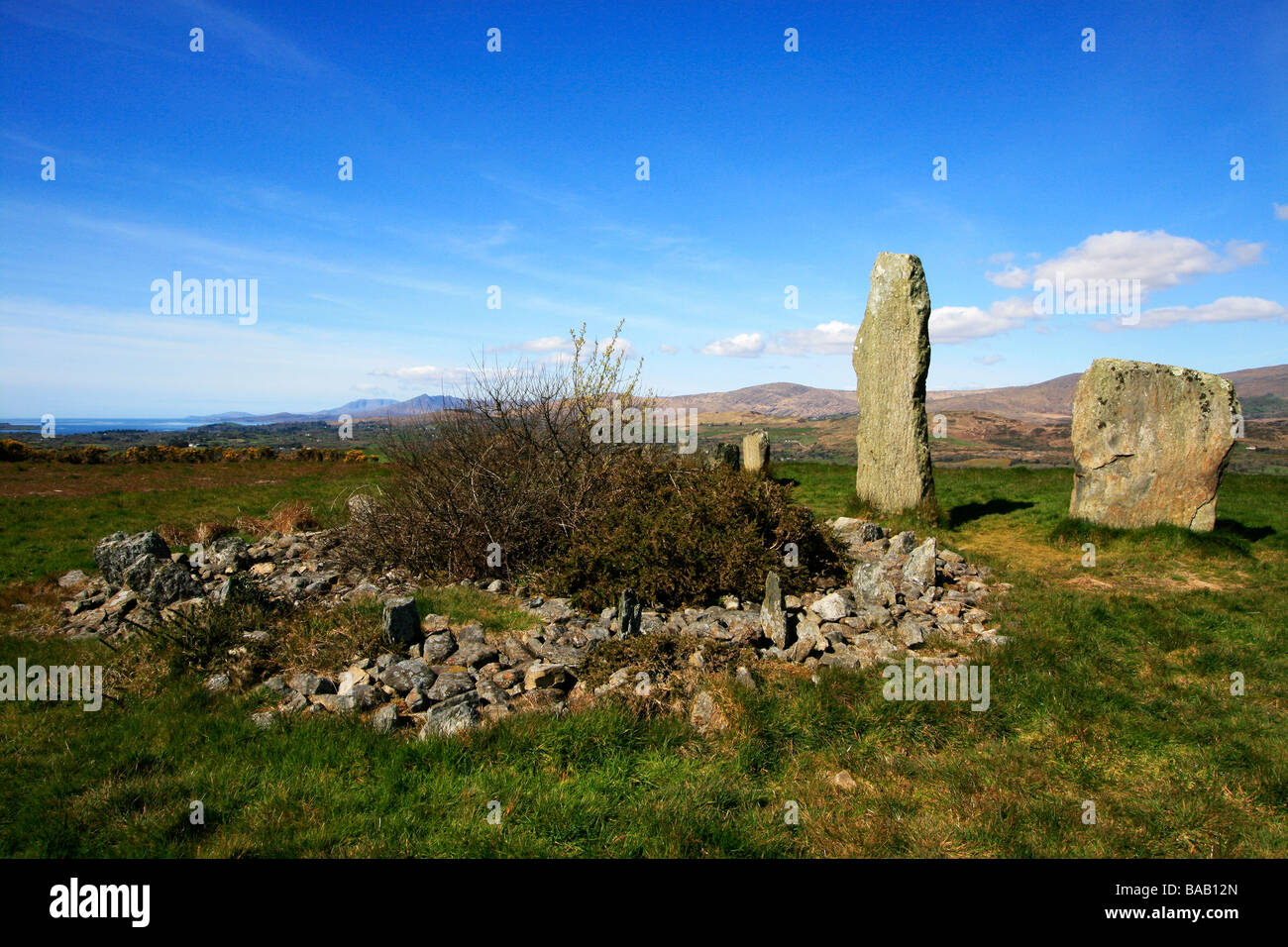 Holed stone in Kilquane (barretts By.)Holed stone · 1.7 mi
Explorer Tom Holed stone in Kilquane is an original location record for a slab that now lies prostrate downslope. So you’re looking…
 Standing stone in AhadallaneStanding stone · 1.7 mi
Explorer Tom Standing stone in Ahadallane was removed and has no trace left, so hold its world record for disappearing acts. It's…
 The Sinners StoneHoled stone (present location) · 1.7 mi
Explorer Tom The Sinners Stone is furious that the wind keeps blowing directly through its hole, making a sound like a sad trumpet…
 Kilquane Church (in Ruins)Church · 1.8 mi
Explorer Tom Kilquane Church is playing hard to get, like a fox that stole the parish keys and ran off with them. The walls are…
 Clyda Rovers GAA pitchGAA ground · 4.0 mi
 Donoughmore GAA pitchGAA ground · 4.1 mi
More archaeology and monuments in County Cork · All of County Cork

What do you know about this place?Tap to add a comment or ask a question