What is recorded here
Indicated is a square moated site in County Cork, Ireland, where a road took its northeast corner and cattle still grind the remaining banks. The lost earth did not disappear; it became the boundary people drive past every day. What was hidden is now written large on the land, marking the exact place where memory stopped resisting and entered ordinary life.
In rolling pasture, on level ground. A square area (50m N-S; 50m E-W) defined on the S and W sides by the remains of an earthen bank with a shallow external fosse (D 0.1m). Elsewhere the bank has been incorporated into the field boundary system and is skirted by a road. The mainly grass-covered W bank (Wth 4m; int. H 0.6m; ext. H 0.9m) is denuded by cattle in places along its inner face and there is a break (Wth 5m) at its N end. The NE corner of the moated site has been removed to facilitate road widening. This has resulted in the levelling of c. 30m of the E bank and c. 17m of the N bank. Approximately 5m of the W end of the N bank have also been levelled. A post-and-wire fence has replaced these levelled sections of the bank. The remaining bank (int. H 1.15m; ext. H 1.5m) on the N and E sides is higher than that on the W and S sides and is stone faced externally. The grass-covered interior is level. According to local information, this moated site is known locally as 'a fort'.
The above description is derived from 'The Archaeological Inventory of County Cork. Volume 5' (Dublin: Stationery Office, 2009).
Date of upload: 22 December 2009
This remains an important historical record, but the official description says the monument is no longer visible or has been destroyed. The monument record does not grant public access. Check the route and ask the landowner before entering private land.
- What survives
- No visible remains or recorded as destroyed
Places near here
 Ballyvorisheen BridgeBridge · 1543 yd
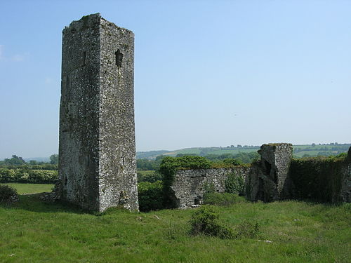 Man-made underground passage in GormleeMan-made underground passage · 1.5 mi
 DolmenWedge tomb · 1.8 mi
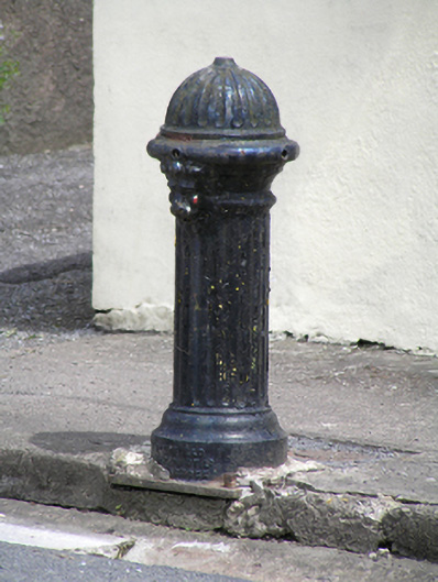 water pumpwater pump · 2.4 mi
 Castle (in Ruins)Castle, tower house · 2.6 mi
 Graveyard in KilmonaGraveyard · 3.4 mi
 Bottle HillMountain / peak · 3.4 mi
 Graveyard in GlenvilleGraveyard · 3.6 mi
 St John's WellSpring · 3.8 mi
 Garrycloyne Castle (in Ruins)Castle, tower house · 5.2 mi
 Cork WalksVisitor information · 8.3 mi
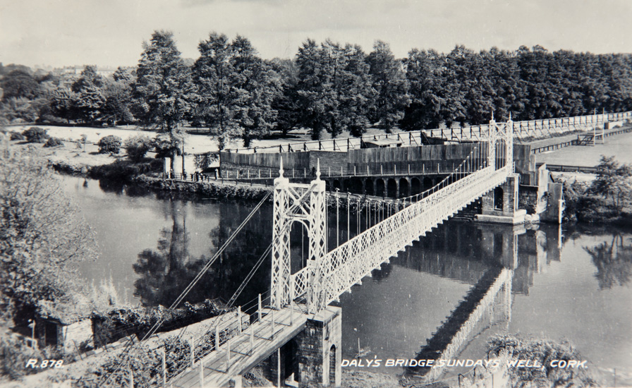 Sundays WellHoly well · 1.9 mi