What is recorded here
Located on top of a small drumlin and within view of Glasdrumman House, c. 170m to the NE. It is indicated as an enclosure planted with trees only the 1907 edition of the OS 6-inch map. This is a circular enclosure (diam. 31m N-S; 31m E-W) defined by an earthen bank (Wth 2-2.5m; int. H 0.3m) and a slight external fosse (Wth of top 1.5-2.2m; ext. D 0.2-0.3m). It is planted with coniferous trees but there are some mature deciduous trees on the perimeter.
Compiled by: Michael Moore
Date of upload: 23 September, 2016
The monument record does not grant public access. Check the route and ask the landowner before entering private land.
- What survives
- Recorded monument
Places near here
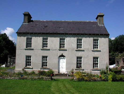 Glasdrumman Housefarm house · 207 yd
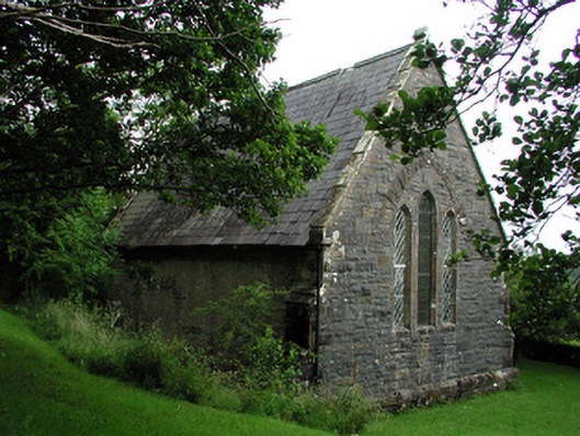 Creevelea Presbyterian Churchchurch/chapel · 1432 yd
 Tober BuayHoly well · 1637 yd
 fortsFairy fort / earthen ringfort · 1.0 mi
 Drummans IslandIslet · 3.8 mi
 European ashEuropean ash · 4.4 mi
 Black PoplarBlack Poplar · 4.4 mi
 Seltannasaggart SE SlopeMountain / peak · 4.5 mi
 Carrane HillCliff · 4.5 mi
 Corry ShoalIslet · 4.6 mi
 Scardan WaterfallWaterfall · 4.7 mi
 Forde's CastleCastle · 5.0 mi