What is recorded here
Situated on a gentle NW-facing slope. Circular enclosure (diam. 18m) defined by an earth and stone bank (Wth c. 3m; H 0.8m). No trace of entrance, fosse or internal features. Possibly a tree-ring. Archaeological monitoring of top soil removal in 2004 (Excavation Licence 04E1201) carried out immediately to the E of this monument did not reveal anything of archaeological significance (Cryerhall 2007, 477-8).
The above description is derived from the published 'Archaeological Inventory of County Wicklow' (Dublin: Stationery Office, 1997). In certain instances the entries have been revised and updated in the light of recent research.
Date of revision: 11 January 2013
Revised by: Claire Breen
The monument record does not grant public access. Check the route and ask the landowner before entering private land.
- What survives
- Recorded monument
Places near here
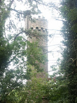 Hollybrookfolly · 546 yd
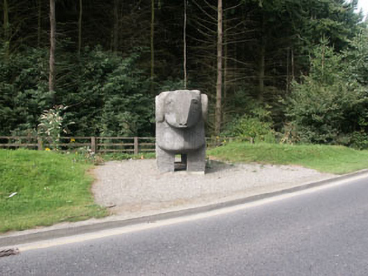 The Ram""monument · 635 yd
 Cross in Kilbride (rathdown By.)Cross · 1082 yd
 European YewEuropean Yew · 1254 yd
 Monterey CypressMonterey Cypress · 1346 yd
 Grave YardGraveyard · 1579 yd
 Johnny Fox's MemorialMemorial · 1599 yd
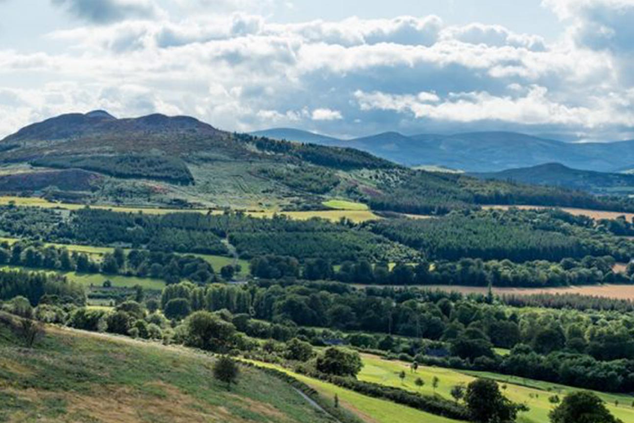 Belmont WayWalking route · 1.0 mi
 Little Sugar LoafMountain / peak · 1.0 mi
 Oldcourt CastleCastle · 1.0 mi
 Lover's LeapNamed rock · 1.1 mi
 The Sugar Loaf WayWalking route · 1.9 mi