What is recorded here
Situated on a break in slope, with ground falling away to the N and W. The site is quite overgrown with brambles and small trees. A raised, uneven area (c. 14.5m N-S; 11.2m E-W) referred to as a 'burial ground' by the landowner. The edge of the site is poorly defined with no enclosing element visible.
The above description is derived from 'The Archaeological Inventory of County Tipperary. Vol. 1 - North Tipperary' compiled by Jean Farrelly and Caimin O'Brien (Dublin: Stationery Office, 2002). In certain instances the entries have been revised and updated in the light of recent research.
Date of upload/revision: 22 September 2008
Neolithic passage tomb; dates to the 4th–3rd millennium BCE. Its location and description suggest it is part of a broader ritual landscape associated with early farming communities in the region.
The monument record does not grant public access. Check the route and ask the landowner before entering private land.
- What survives
- Recorded monument
Places near here
 CopperminesCave · 862 yd
 Mine in GarrykennedyMine · 878 yd
 Old Tug of War DeviceMonument · 1101 yd
 Garrykennedy ForestWood · 1208 yd
 Freagh WoodWood · 1251 yd
 Enclosure in GarrykennedyEnclosure · 1511 yd
 Garrykennedy Castle (in ruins)Castle, tower house · 1521 yd
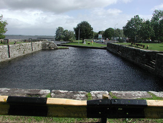 quay/wharfquay/wharf · 1530 yd
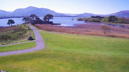 Castle (in ruins)Castle, tower house · 1.2 mi
 Mass RockNamed rock · 1.4 mi
 Youghal BayBay · 1.8 mi
 Scilly IslandIslet · 2.0 mi