
What is recorded here
Indicated is a fairy fort in County Cork, a circular earthen ring standing one metre high around a open pasture. A stone fence cuts across the middle, marking a laneway that splits the ancient circle in two. The land has been walked and farmed for generations, yet the ring remains visible in the grass, waiting to be seen.
In pasture, to S of farmyard. Circular area (diam. 36m) defined by earthen bank (H 1.1m) SW->NNE. Stone-faced field fence NNE ->SW following approximate line of bank; also forms outer edge of laneway crossing interior.
The above description is derived from the published 'Archaeological Inventory of County Cork. Volume 3: Mid Cork' (Dublin: Stationery Office, 1997). In certain instances the entries have been revised and updated in the light of recent research.
Date of upload/revision: 14 January 2009
The monument record does not grant public access. Check the route and ask the landowner before entering private land.
- What survives
- Recorded monument
Places near here
 Castle View Housefarm house · 489 yd
 Ballyvodane Castle (in Ruins)Castle, unclassified · 1152 yd
 Fulachta FiadhFulacht fia · 1431 yd
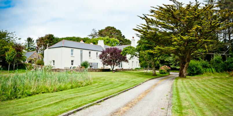 Knockane HouseCountry house · 1481 yd
 BarrowBarrow, ring-barrow · 1.2 mi
 New TipperaryVisitor information · 3.1 mi
 Lyradane MountainMountain / peak · 3.2 mi
 Pairc Ath Na hEornaMemorial · 3.3 mi
 Garrycloyne Castle (in Ruins)Castle, tower house · 3.6 mi
 Pakie HoganMemorial · 3.9 mi
 Rock HillMountain / peak · 3.9 mi
 Ballyanly Inniscarra Slí na SláinteWalking route · 4.0 mi
Other information
Photo: Credit not shown in the picture search · Rights wording not checked; contact us if this picture should be removed