What is recorded here
Marked only on the 1925 ed. of the OS 6-inch map as a D-shaped wooded enclosure (dims. c. 30m WNW-ESE; c. 20m NNE-SSW backing onto a road at S. It is located on a broad SW-NE spur c. 80m S of Grouse Lodge, which was built between 1840 and 1925, but is not visible at ground level in pasture.
Compiled by: Michael Moore.
Date of upload/revision: 6th May, 2011.
The monument record does not grant public access. Check the route and ask the landowner before entering private land.
- What survives
- Recorded monument
Places near here
 Enclosure in Ballynabanoge SouthEnclosure · 935 yd
 Settlement cluster in GarranturtonSettlement cluster · 960 yd
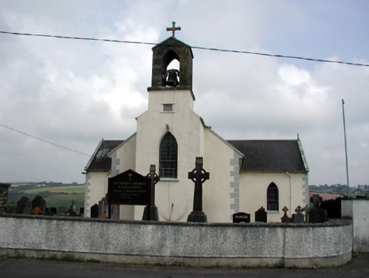 Saint Anne's Catholic Churchchurch/chapel · 1.6 mi
 Mandevilles RockCastle, unclassified · 1.8 mi
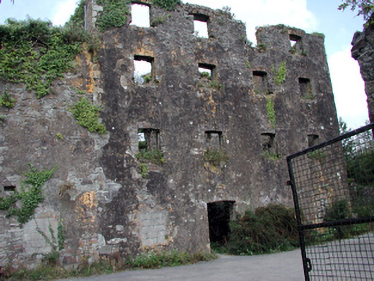 Carrigcastle Millmill (water) · 1.9 mi
 8 Arch GalleryGallery · 2.1 mi
 Castle (in ruins)Castle, unclassified · 2.1 mi
 Stradbally Geological SundialHeritage attraction · 3.3 mi
 Ballydowane CoveBeach / strand · 3.4 mi
 Stradbally CoveBeach / strand · 3.8 mi
 Bunmahon Miners' CottagesVisitor information · 3.8 mi
 Trá na mBóVisitor information · 3.9 mi