What is recorded here
Indicated is a fairy fort on the south slope of Mount Kid in County Cork, Ireland. Its thirty-metre circular platform appeared on the 1842 Ordnance Survey map before becoming levelled pasture. A curved field wall still hints at its boundary, while a possible underground passage remains hidden inside. The wide southern view suggests people valued the place enough to shape it, even though no name or date has survived.
In pasture, on S slope of Mount Kid, with extensive view to S. Hachured as circular platform (diam. c. 30m) on OS 6-inch map (1842): levelled. Curve in field wall may respect line of enclosure. Possible Man-made underground passage (CO132-083---) in interior.
The above description is derived from the published 'Archaeological Inventory of County Cork. Volume 1: West Cork' (Dublin: Stationery Office, 1992). In certain instances the entries have been revised and updated in the light of recent research.
Date of upload/revision: 14 January 2009
The monument record does not grant public access. Check the route and ask the landowner before entering private land.
- What survives
- Recorded monument
Places near here
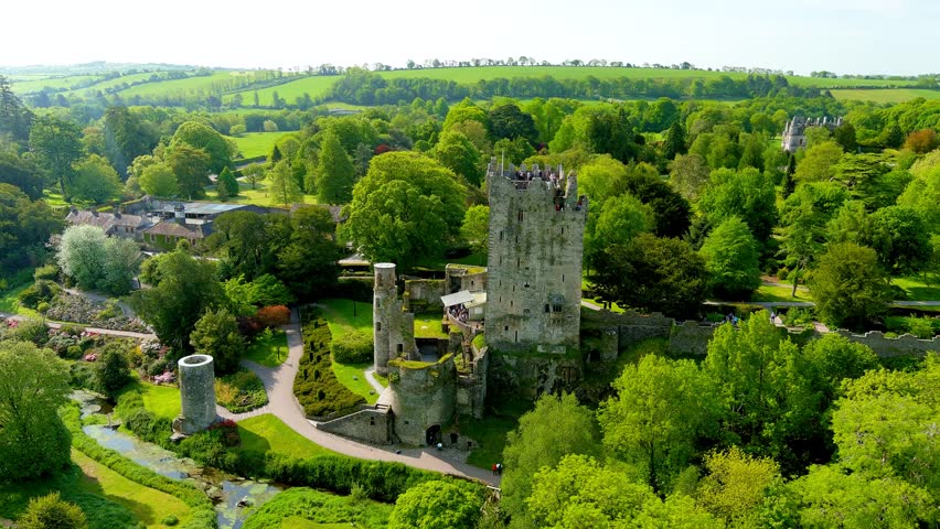 Man-made underground passage in Garrane (carbery W. (w.d) By.)Man-made underground passage · 1 yd
 Mount KidMountain / peak · 1200 yd
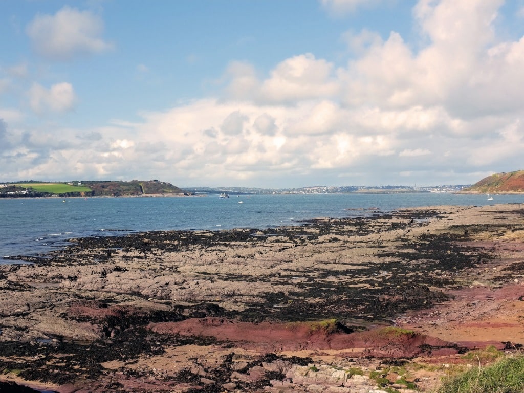 IndicatedEnclosure · 1201 yd
 Ballyourane Castle (in Ruins)Castle, unclassified · 2.2 mi
 KnockaphukeenMountain / peak · 2.7 mi
 Meen Bridgebridge · 3.0 mi
 Church of the Most Holy Rosarychurch/chapel · 3.0 mi
 Monterey CypressMonterey Cypress · 4.3 mi
 Ballydehob Railway StationVisitor information · 4.5 mi
 Ballydehob's 3-Arch Road BridgeVisitor information · 4.5 mi
 Danno O’Mahony statueMemorial · 4.6 mi
 Kilcoe CastleCastle · 4.6 mi