What is recorded here
On a slight rise in pastureland, some 225m to the NNE of an enclosure (GA096-105----). This poorly preserved irregular enclosure (35m E-W; 32m N-S) is defined by an earthen bank (Wth 2.5m; int. H 0.6m; ext. H 1.1m) from NW to NE and from SE to SW; a squared-off scarp forms the enclosing element along E and W sides. Possibly a rath.
Compiled by: Galway Archaeological Survey, UCG
Date of upload: 7 March 2019
The monument record does not grant public access. Check the route and ask the landowner before entering private land.
- What survives
- Recorded monument
Places near here
 Galboley Castle (in ruins)Castle, unclassified · 851 yd
 Turoe StoneHeritage attraction · 1233 yd
 IndicatedEnclosure · 1583 yd
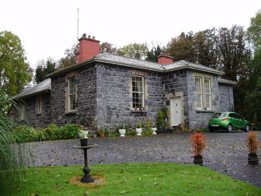 Rathville Housecountry house · 1.1 mi
 Church in Bullaun (loughrea By.)Church · 1.1 mi
 R.C. ChapelChurch · 1.2 mi
 Bawn in Cahernamuck WestBawn · 2.5 mi
 Barrack IslandIslet · 4.5 mi
 Middle IslandIslet · 4.5 mi
 Dartfield Horse MuseumHeritage attraction · 4.6 mi
 Woodlawn WoodsForest · 5.5 mi
 European Crab AppleEuropean Crab Apple · 5.9 mi