What is recorded here
Monument surveyed by ASI in 1976 and described as following; 'A small roughly circular low embankment of earth and stone. There are traces of a low bank of earth and stone along its upper edge. This bank is very faint and is best preserved on the N and is virtually absent on the E edge of the embankment which is defaced in a number of places by animal tracks but there is no indication of an original entrance. The interior (diam. 27m N-S; 29m E-W) is rather uneven and there is a small rock outcrop to the S of the centre. Other stones are visible just on the surface in the N half of the interior. No internal features are visible. The edge of the embankment is overgrown with trees on the N, E and W. The site is on low ground in good pasture. There is a good view of L. Ennell to the N but the site is overlooked by a high ridge to the S’ (SMR File 17/08/1976).
Compiled by: Caimin O'Brien
Date of upload: 14 February 2013
The monument record does not grant public access. Check the route and ask the landowner before entering private land.
- What survives
- Recorded monument
Places near here
 Partially hachuredFairy fort / earthen ringfort · 408 yd
 OutlinedEnclosure · 564 yd
 Robinstown CastleCastle · 663 yd
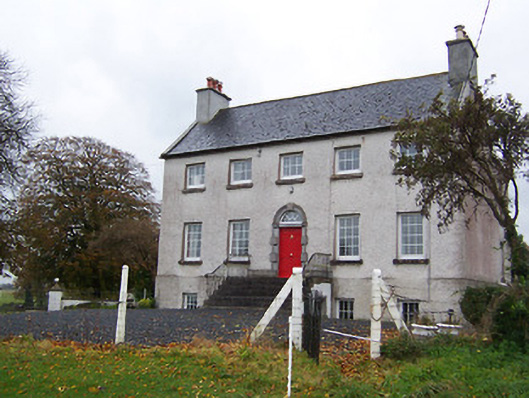 Robinstown Housecountry house · 1153 yd
 FriaryReligious house, Dominican friars · 1183 yd
 CastleCastle, tower house · 1.3 mi
 Dysart IslandIsland · 1.4 mi
 Blind IslandIslet · 1.6 mi
 Mollie Moo's Pet FarmHeritage attraction · 1.8 mi
 Belvedere house and gardensVisitor information · 2.2 mi
 Ancient Ring FortWood · 4.9 mi
 Cherry IslandCrannog · 680 yd