What is recorded here
In an upland river valley at the E end of a low ridge overlooking a steep river valley immediately to E and N, with a later medieval church (KK015-030004-) and graveyard (KK015-030005-) 85m and 44m respectively to W of this church. There is a holy well, known as St. Scoheen's Well (KK015-030006-), approx. 60m W of the…
Read the whole record
In an upland river valley at the E end of a low ridge overlooking a steep river valley immediately to E and N, with a later medieval church (KK015-030004-) and graveyard (KK015-030005-) 85m and 44m respectively to W of this church. There is a holy well, known as St. Scoheen's Well (KK015-030006-), approx. 60m W of the church (KK015-030001-) and graveyard. The church is marked as 'Tiscoffin Church (Site of)' on the 1900 ed. OS 6" map which is derived from the Irish Tigh Scoithin. St. Scoithin was a 6th-century monk who established a hermitage here during this period. There is no visible trace of the early medieval church which is located in the SW quadrant of a small square-shaped graveyard (int. dims. 24m N-S; 25m E-W). The graveyard is defined by a low grass-covered stone wall constructed of coursed shale limestone which survives approx. six courses high (H 0.6m; wall T 0.6m). The OS letters records that 'the original grave yard of this original church is no longer used; in it are shewn seven flags (now partly covered with grass and earth) under which seven Bishops - the seven sons of Scoithin are said to be interred' (O'Flanagan 1930, vol. 1, 73-4). A cross-inscribed slab (KK015-030008-) was discovered in 1950 lying along the bank of the graveyard.
From the National Monuments Service (Archaeological Survey of Ireland) record KK015-030002
Places near here
Photo credits
- A.-K. D., Wikimedia Commons · CC BY-SA 4.0
- National Inventory of Architectural Heritage
- kevin higgins, Wikimedia Commons · CC BY-SA 2.0
- Zapp111, Wikimedia Commons · CC BY-SA 4.0
- Mike Searle, Geograph · CC BY-SA 2.0
- liam murphy, Wikimedia Commons · CC BY-SA 2.0
- Throwaway6271, Wikimedia Commons · CC BY-SA 4.0
- Didier Descouens, Wikimedia Commons · CC BY-SA 4.0
- Christian Pirkl, Wikimedia Commons · CC BY-SA 3.0 at
- Humphrey Bolton, Geograph · CC BY-SA 2.0
 St. Scoheens WellHoly well · 82 yd
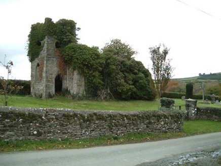 Freneystown Church (Tiscoffin)Church/chapel · 104 yd
 Freneystown CastleCastle, tower house · 514 yd
 Saint Scuithin's Catholic ChurchChurch/chapel · 1450 yd
 St. Mogarra’s WellSpring · 1.5 mi
 IndicatedBawn · 1.7 mi
 Clara CastleCastle, tower house · 1.7 mi
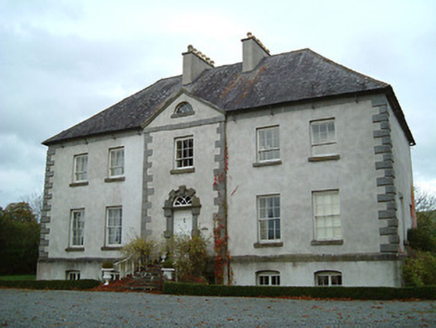 Ballysallagh HouseCountry house · 2.0 mi
 CairnCairn, burial cairn · 2.0 mi
 Hawthorn2.0 mi
 Sycamore3.8 mi
 Tullaherin Church and Round TowerVisitor information · 7.1 mi
More archaeology and monuments in County Kilkenny · All of County Kilkenny

What do you know about this place?Tap to add a comment or ask a question