What is recorded here
In pasture, atop low hillock on N-facing slope. Sub-rectangular area (59.8m N-S; 63m E-W) enclosed by eroded earthen bank (H 0.95m). Interior planted with trees; rises to centre; heavily ridged and uneven surface.
The above description is derived from the published 'Archaeological Inventory of County Cork. Volume 2: East and South Cork' (Dublin: Stationery Office, 1994). In certain instances the entries have been revised and updated in the light of recent research.
Date of upload/revision: 14 January 2009
The monument record does not grant public access. Check the route and ask the landowner before entering private land.
- What survives
- Recorded monument
Places near here
 Castle (in Ruins)Castle, tower house · 380 yd
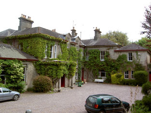 Aghamarta Castlecountry house · 610 yd
 Coolmore WoodWood · 820 yd
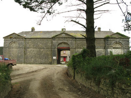 Coolmore Housefarmyard complex · 1198 yd
 Icehouse in Coolmore (kerrycurrihy By.)Icehouse · 1337 yd
 Enclosure in Coolmore (kerrycurrihy By.)Enclosure · 1.0 mi
 Loughbeg Bird ReserveNature reserve · 1.2 mi
 Cogan's CastleCastle · 1.6 mi
 William Warren Baldwin plaqueMemorial · 1.7 mi
 The Giant's GraveMonument · 1.9 mi
 Crosshaven Tourist OfficeVisitor information · 1.9 mi
 Fountainstown BeachBeach / strand · 2.3 mi