
What is recorded here
Built into a SE-facing slope in rough pasture to the NE of the Owgarriff River. A collapsed mid/late 19th-century limekiln built of random rubble. It is roughly square in plan (3.5m NW-SE; 3.4m SE-SW) with the recess (H c. 1m; Wth 1.2m; D 1m) facing SE. The stone-lined funnel (diam. 1.45m) is partly infilled with collapsed material.
Compiled by: Elizabeth Byrne, Ursula Egan and Sheila Ronan, Archaeological Survey Unit, University College, Cork.
Date of upload: 31 January 2011
The monument record does not grant public access. Check the route and ask the landowner before entering private land.
- What survives
- Recorded monument
Places near here
 Torc MountainMountain / peak · 1208 yd
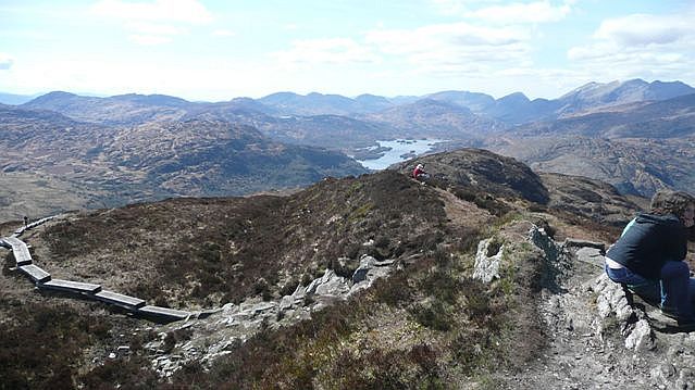 Torc Mountain W TopMountain / peak · 1391 yd
 Muckross Lake WalkWalking route · 1.1 mi
 Torc WaterfallWaterfall · 1.1 mi
 Torc New Br.Bridge · 1.3 mi
 Scots PineScots Pine · 1.4 mi
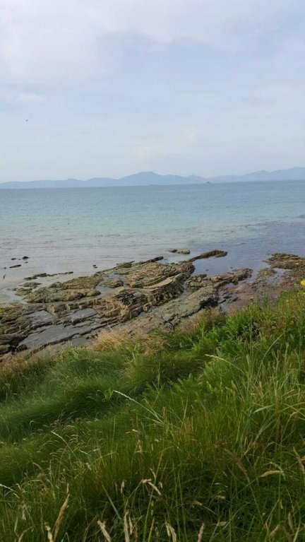 Hut site in CoresHut site · 1.5 mi
 TooreencormickBattlefield · 1.7 mi
 Devil's IslandIslet · 1.7 mi
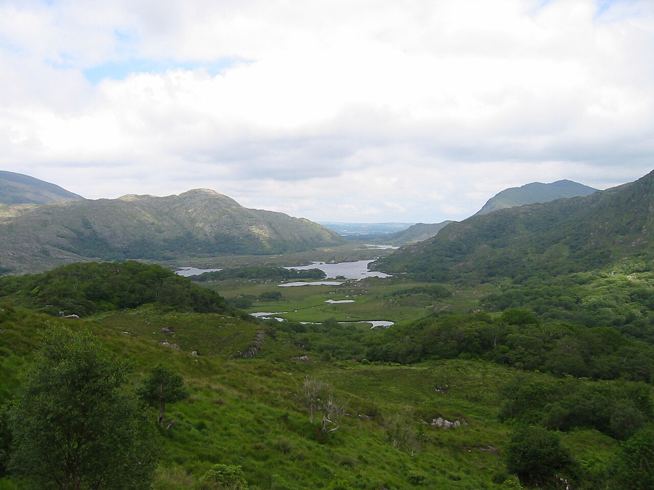 Killarney National ParkHeritage attraction · 1.7 mi
 Church ruinsRuins · 1.8 mi
 Bog BayBay · 1.8 mi
Other information
Photo: Credit not shown in the picture search · Rights wording not checked; contact us if this picture should be removed