What is recorded here
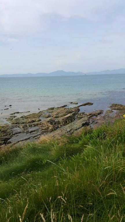
In rough hill pasture, nestled in a valley, on the W-facing slope of Mangerton Mountain and within Killarney National Park. The remains of a circular hut (3.8m NW-SE; 3.6m NE-SW) defined by a drystone wall (T 1m; H 0.7m). There is an entrance (Wth 0.8m) at W. The hut is covered in heather.
Compiled by: Elizabeth Byrne, Ursula Egan and Sheila Ronan, Archaeological Survey Unit, University College, Cork.
Date of upload: 31 January 2011
The monument record does not grant public access. Check the route and ask the landowner before entering private land.
- What survives
- Recorded monument
Places near here
 MangertonMountain / peak · 1129 yd
 Dromderalough NE TopMountain / peak · 1233 yd
 Field boundary in CummeenduvasigField boundary · 2.0 mi
 IndicatedSettlement cluster · 2.0 mi
 TooreencormickBattlefield · 2.2 mi
 English hollyEnglish holly · 2.3 mi
 Torc WaterfallWaterfall · 2.3 mi
 Muckross Lake WalkWalking route · 2.4 mi
 Torc New Br.Bridge · 2.5 mi
 Church ruinsRuins · 2.8 mi
 Scots PineScots Pine · 2.9 mi
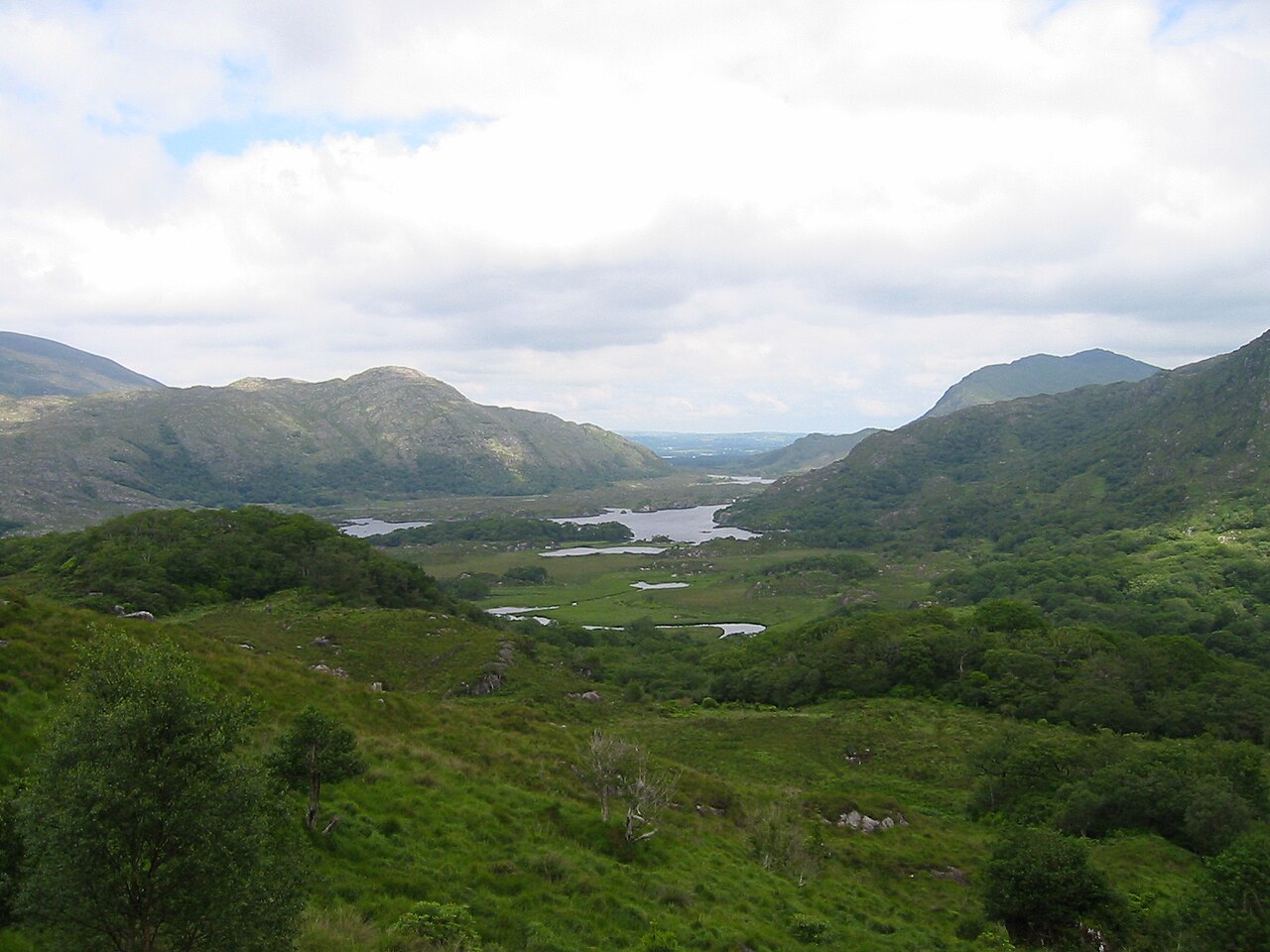 Killarney National ParkHeritage attraction · 2.9 mi
Other information
Photo: Credit not shown in the picture search · Rights wording not checked; contact us if this picture should be removed