What is recorded here
Situated on a fairly level landscape, at the crest of a steep slope down (H c. 12m) to a SW-NE section of the River Boyne which is c. 150m distant. This feature could be depicted as a rectangular enclosure on the 1836 edition of the OS 6-inch map but it is described by C. Mullins in 1999 (SMR file) as a rectangular grass-covered area (dims c. 20m NW-SE; c. 20m NE-SW) defined by a slight bank. Cartographic analysis and archaeological testing (20E0493) by Donald Murphy demonstrated that this is the remains of a post-medieval plot defined by earthen banks (Wth 2.5m; H 0.55m) that were excavated at NW and NE, the latter with a cobbled surface (Wth 0.65m) on its NE side. A relict field bank (Wth 2.41m; H 0.31m) with an accompanying ditch (Wth 2.35m) extended NW from the W angle of the enclosure. These features were associated with glass and ceramics of nineteenth or twentieth century date. Some other cut features extending NW-SE as well as NE-SW could be earlier. (Murphy 2020, 11-16)
Compiled by: Michael Moore
Date of upload: 30 March 2023
Murphy, Donald 2020 Navan Mid-East Meath Water Supply Scheme. Report on Archaeological Test Excavations at Sites A – Blackcastle Demesne & Site B – Ferganstown & Ballymacon, Navan, Co. Meath. Licence: 20E0493. Unpublished report, Archaeological Consultancy Services
The monument record does not grant public access. Check the route and ask the landowner before entering private land.
- What survives
- Recorded monument
Places near here
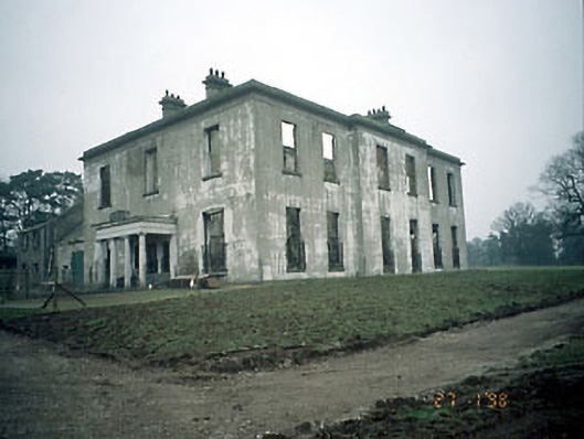 Blackcastle Househouse · 986 yd
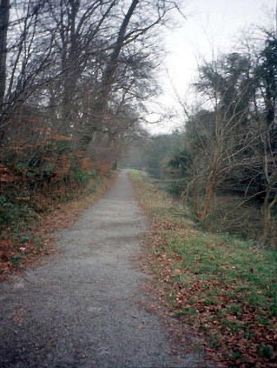 towpathtowpath · 1062 yd
 Blackcastle DemesneWood · 1100 yd
 Rowley's WoodWood · 1231 yd
 Font (present location) in BlackcastleFont (present location) · 1269 yd
 Enclosure in Blackcastle DemesneEnclosure · 1276 yd
 Donaghmore Round TowerHeritage attraction · 1320 yd
 CastleCastle, motte · 1630 yd
 Nangle CourtMemorial · 1.4 mi
 Dunmoe CastleCastle, unclassified · 1.4 mi
 Carn HillMountain / peak · 1.7 mi
 BohermeenMountain / peak · 4.7 mi