What is recorded here
Located at the S end of a N-S drumlin ridge. This is a circular grass-covered area (diam. 36.5m NE-SW) defined by a slight bank (at S: Wth 1.5m; int. H 0.2m; ext. H 1.3m) and hedge but the perimeter is generally reduced to a scarp (at N: H 0.75m) with an outer drain (at S: Wth of base 1m; ext. D 0.4m), The original entrance is not identified, and the perimeter is skirted by a farm lane W-N.
The above description is derived from the published 'Archaeological Inventory of County Monaghan' (Dublin: Stationery Office, 1986). In certain instances the entries have been revised and updated in the light of recent research.
Date of revision: 26 January 2018
The monument record does not grant public access. Check the route and ask the landowner before entering private land.
- What survives
- Recorded monument
Places near here
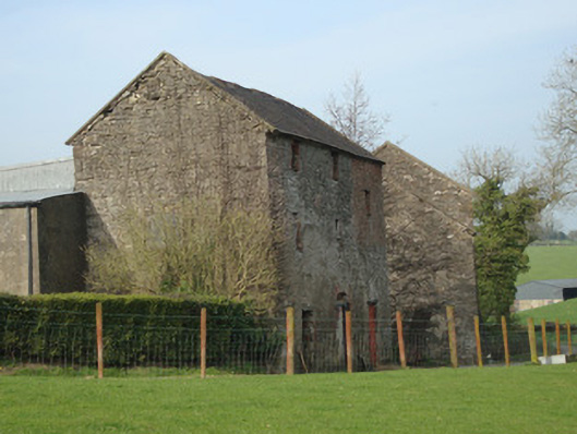 Dromore Corn Millmill (water) · 688 yd
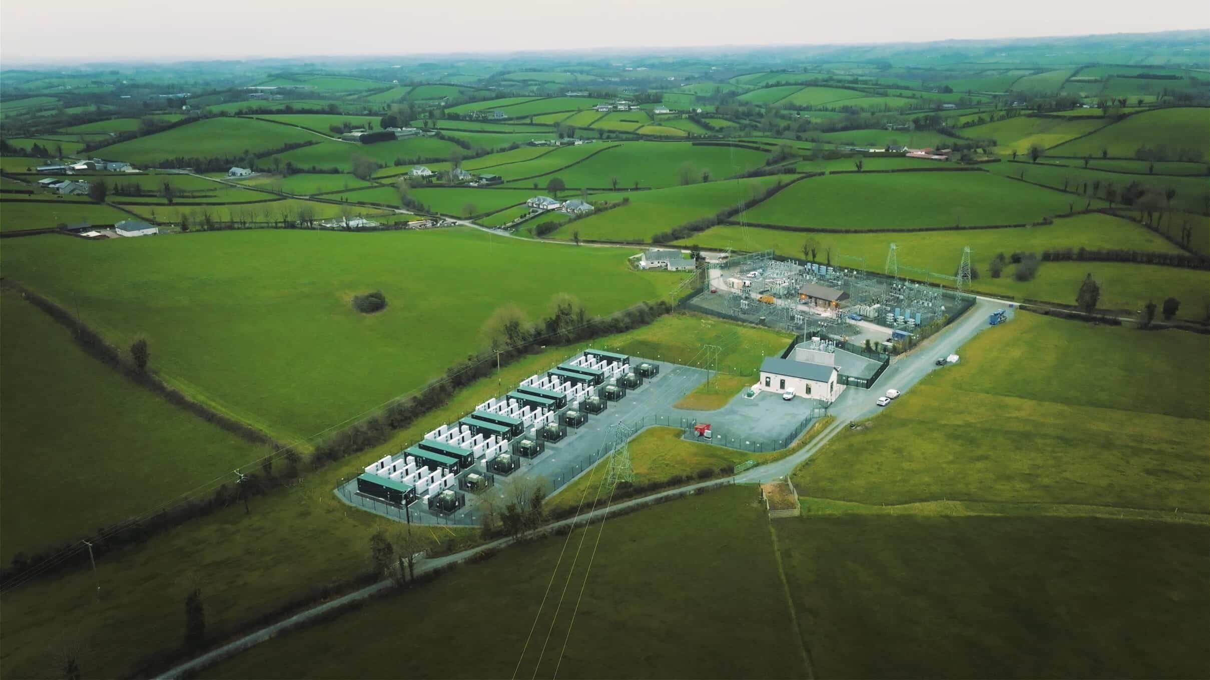 Lisdrumdoagh fortHilltop enclosure · 1525 yd
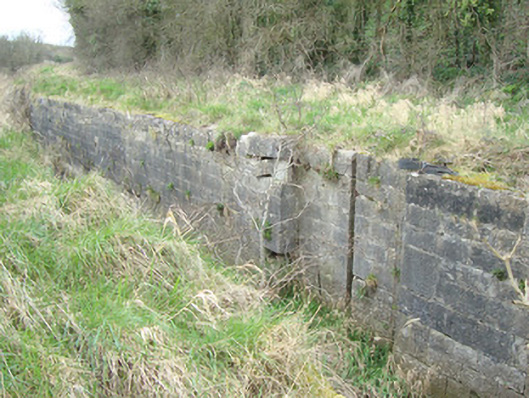 12th Lock and 11th Lockcanal (section of) · 1601 yd
 CarnCairn, unclassified · 1.1 mi
 Caldwells' WoodWood · 1.2 mi
 Liscarney WoodWood · 1.4 mi
 Castleshane WaterfallWaterfall · 1.7 mi
 Monaghan County MuseumMuseum · 2.7 mi
 Rossmore MonumentMemorial · 2.8 mi
 Bawn in Roosky (monaghan By., Monaghan Par.)Bawn · 2.8 mi
 Battle of ClontibretBattlefield · 3.9 mi
 Banba GiantHeritage attraction · 4.2 mi