What is recorded here
Marked only on the 1910 ed. of the OS 6-inch map as a circular enclosure (diam. c. 25m) defined by a field bank and situated on the steep S-facing slope of a hazel and scrub-covered hill. It is not visible at ground level. Enclosure site (LE010-030002-) is c. 10m to the E. It is quite possible that this is not an ancient feature.
The above description is derived from 'The Archaeological Inventory of County Leitrim' compiled by Michael J. Moore (Dublin: Stationery Office, 2003). In certain instances the entries have been revised and updated in the light of recent research.
Date of upload/revision: 13 December 2011
The monument record does not grant public access. Check the route and ask the landowner before entering private land.
- What survives
- Recorded monument
Places near here
 IndicatedFairy fort / earthen ringfort · 342 yd
 Man-made underground passage in BallynamonaMan-made underground passage · 792 yd
 CastleCastle, tower house · 834 yd
 Parke's CastleHeritage attraction · 839 yd
 Toberconnell BayBay · 1.4 mi
 Court Tomb TrailWalking route · 1.5 mi
 St. Connells IslandIslet · 1.5 mi
 Trawane BayBay · 1.7 mi
 InnisfreeIslet · 1.7 mi
 Cullentra ForestForest · 1.7 mi
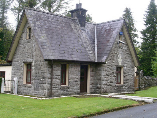 Clogherrevagh Housegate lodge · 1.9 mi
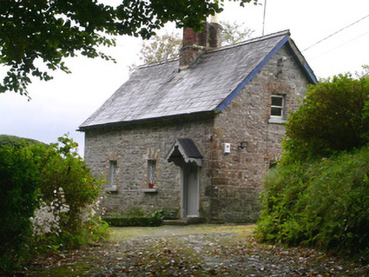 Holywell Housegate lodge · 1.9 mi