What is recorded here
In pasture, around contour of hill, enclosing ringfort (TS070-020001-). Excellent views all around. Plateau area (36m E-W) to W of ringfort is defined by traces of levelled field boundary/possible bank SW-W-WNW. Possible hilltop enclosure (dims. c. 130m N-S; c. 180m E-W) with enclosing element visible on OS ortho image from E-S and in NW quadrant. No visible surface trace WNW-NE. Depicted as curvilinear field boundary SW-N-NE on 1903-04 edition OS 6-inch map, most of which (WNW-N-NE) forms part of the townland boundary between Farranshea and Everardsgrange. Ground slopes down gently from ringfort to W, N and E and has very steep downslope to S.
Compiled by: Jean Farrelly
Date of revised upload: 15 December 2016
The monument record does not grant public access. Check the route and ask the landowner before entering private land.
- What survives
- Recorded monument
Places near here
 Enclosure in FarransheaEnclosure · 414 yd
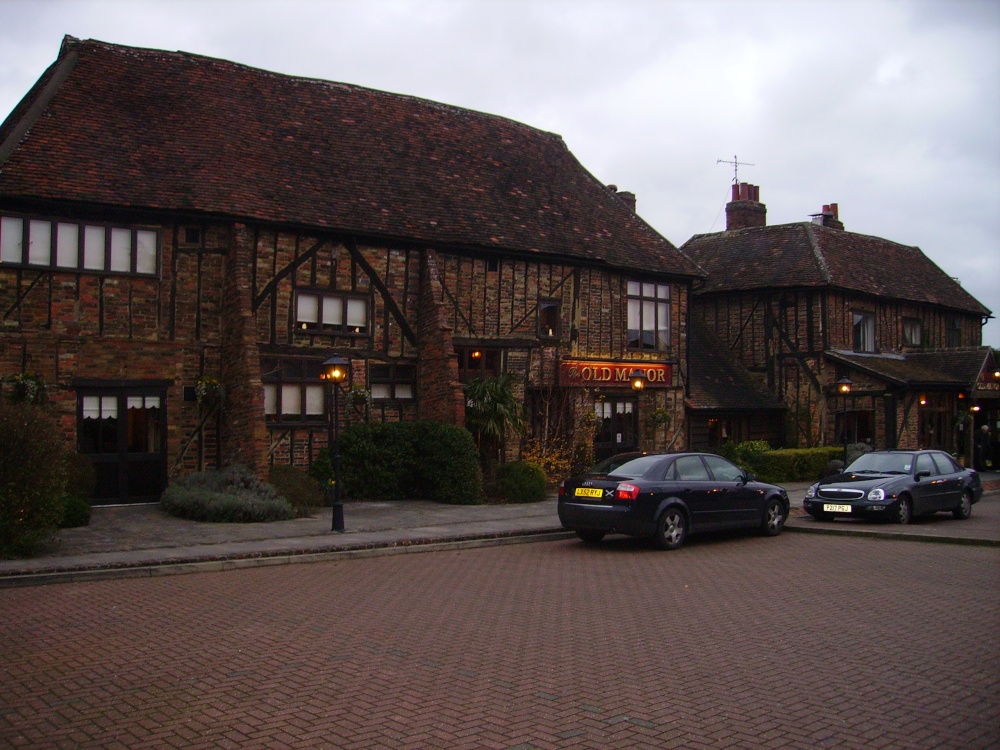 Old Manor Ho. (in ruins)House, 17th century · 835 yd
 Brook Hillhouse · 875 yd
 Enclosure in Saucestown (rathcool Par.)Enclosure · 1381 yd
 Ballinard CastleCastle, tower house · 1.2 mi
 Knockkelly CastleCastle · 1.2 mi
 Kilknockan HillMountain / peak · 1.5 mi
 East GateMemorial · 1.8 mi
 European YewEuropean Yew · 1.9 mi
 Pedunculate OakPedunculate Oak · 1.9 mi
 CarrigdotiaMountain / peak · 3.4 mi
 Gobban Saer's GraveArchaeological place · 9.0 mi