What is recorded here
Indicated is a grassy earthen ringfort in County Mayo, Ireland, where a slight rise still holds the shape of an old boundary. The southern edge has slumped, blurring the line between made and forgotten, while a lone hawthorn stands on the eastern side like a marker left behind. People may have lived, herded or feasted there before the land took the shape back.
In average pasture, located on a slight rise. The ground rises to E and more gently to NNW.
Roughly circular, earthen platform (top diam. 13.6m ENE–WSW; 10.5m NNW–SSW) defined by a scarp (Wth slope 2.2m at SW, 3m at NE; H 1.4m at SW, 1.6m at NE). The scarp appears somewhat lower or slumped at S. The top of the platform is generally level, but the SW part rises to a slightly higher level than the E. At the base of the platform at S–SW there is a slight terrace (Wth 1.4m; ext. H 0.4m) or outer scarp which changes at W–NW to a broadly slumped slope. The platform is grass covered, with a single hawthorn bush on the E side. This may be the remnants of a rath, through the diameter falls at the lower end of the size range for a rath.
Compiled by: Jane O'Shaughnessy
Date of upload: 12 April 2018
The monument record does not grant public access. Check the route and ask the landowner before entering private land.
- What survives
- Recorded monument
Places near here
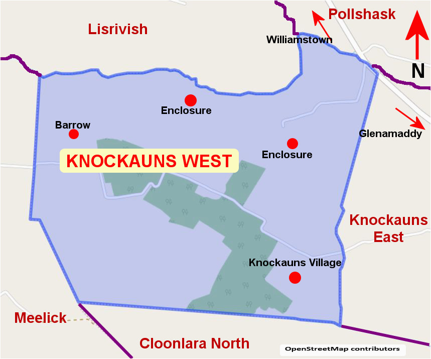 IndicatedEnclosure · 923 yd
 Enclosure in CroftonparkEnclosure · 1368 yd
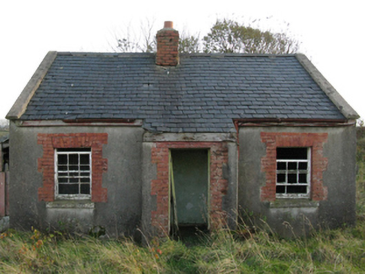 worker's houseworker's house · 1752 yd
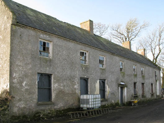 Croftonpark Housefarm house · 1759 yd
 CastleCastle, unclassified · 1.1 mi
 Belleek WoodsWood · 2.2 mi
 Battle of Ballinabattle · 2.2 mi
 Rinphilip PointHeadland · 2.3 mi
 FloretteWreck · 2.4 miHumbert MonumentMemorial · 2.6 mi
 Ballinteean CastleCastle · 2.6 mi
 Gortabradawn PointHeadland · 3.7 mi