What is recorded here
Situated in a slight S-N valley at the headwaters of a small S-N stream. It is marked faintly as a large enclosure (diam. c. 80m) straddling a NW-SE townland boundary on the 1839 ed. of the OS 6-inch map. The NE half of a circular enclosure in Skeahanagh or Farmley townland (diam. c. 80m NW-SE) defined by a fosse or ditch feature is visible on aerial photograph (CUCAP: BGF 32). No feature is visible at ground level in pasture.
The above description is derived from the published 'Archaeological Inventory of County Wexford' (Dublin: Stationery Office, 1996). In certain instances the entries have been revised and updated in the light of recent research.
Compiled by: Michael Moore
Date of upload/revision: 30 April, 2012
The monument record does not grant public access. Check the route and ask the landowner before entering private land.
- What survives
- Recorded monument
Places near here
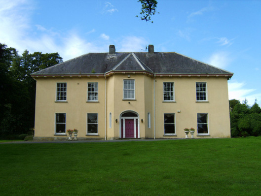 Farmley Housecountry house · 671 yd
 farm housefarm house · 832 yd
 IndicatedFairy fort / earthen ringfort · 1.0 mi
 Enclosure in TincurryEnclosure · 1.0 mi
 Pedunculate OakPedunculate Oak · 2.5 mi
 European LarchEuropean Larch · 3.9 mi
 U.N. Peace MemorialMonument · 4.1 mi
 Duffry GateMemorial · 4.1 mi
 Battle of Vinegar HillMajor battlefield · 4.3 mi
 Daphney CastleCastle, unclassified · 4.4 mi
 National 1798 CentreMuseum · 4.6 mi
 Clohamon Castle (in ruins)Castle, unclassified · 5.2 mi