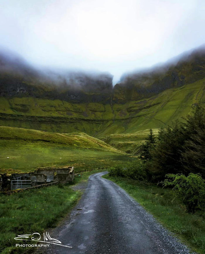
What is recorded here
In pasture, straddling a natural elevation and overlooking Lough Gara to E. A roughly circular area (28m NNW-SSE) enclosed by a drystone wall (Wth 2m; int. H 2m; ext. H 2.2m) of roughly coursed limestone blocks and slabs. The wall is well preserved SW-N, is reduced internally N-E to a low heap of rubble and externally consists of a facing (H 1.8m) on a scarp cut into the natural slope, some of which has collapsed downslope and topped with a field boundary wall (Wth 0.6m; H 0.5-1m). The wall remains largely intact ESE-SSE but expands in width to 2.4m. From S-SW, where the external ground level is significantly higher than that of the interior, the external wall face is low and almost flush with the external ground level. A trackway (Wth 1.7m) flanked by walls, curves around the cashel SSE-SSW, partially overlying the cashel wall. The only break (Wth c. 2.5m) in the wall is at E and is engulfed in overgrowth. The interior slopes down to NE and E and is largely covered in blackthorn and brambles.
The above description is derived from the published 'Archaeological Inventory of County Sligo' compiled by Ursula Egan, Elizabeth Byrne, Mary Sleeman with Sheila Ronan and Connie Murphy (Dublin Stationery Office, 2005).
Date of upload: 18 January 2008
The monument record does not grant public access. Check the route and ask the landowner before entering private land.
- What survives
- Recorded monument
Places near here
 Crow IslandIslet · 1113 yd
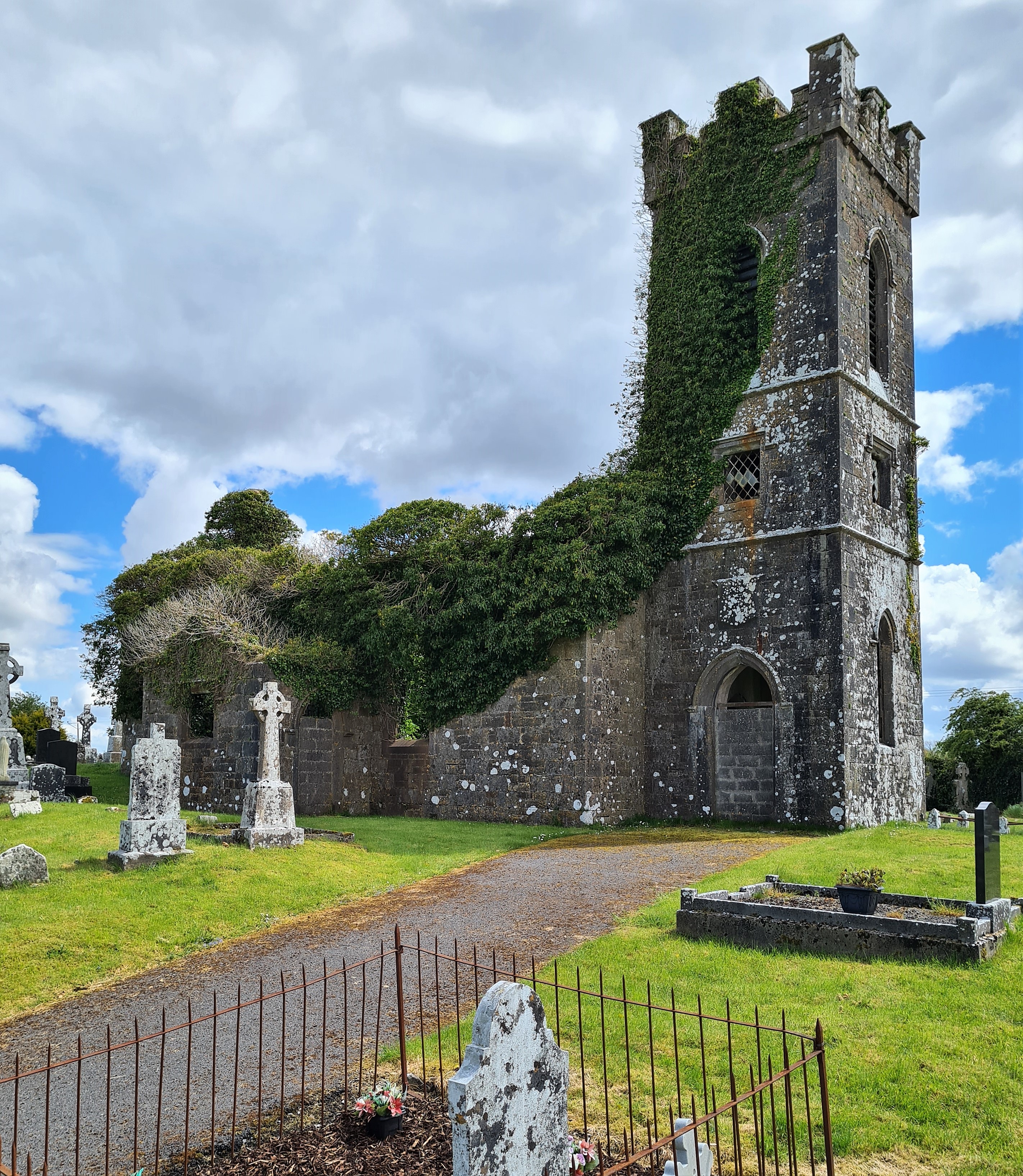 Ritual siteRitual site, holy/saint's stone · 1489 yd
 Moygara CastleCastle · 1666 yd
 Moygara Castle (in Ruins)Bawn · 1668 yd
 Ecclesiastical enclosure in CuppanaghEcclesiastical enclosure · 1.0 mi
 Templerooaun (in Ruins)Church · 1.1 mi
 Inch IslandIslet · 1.3 mi
 Castle PointHeadland · 1.3 mi
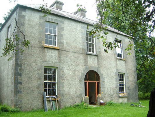 Redhill Househunting/fishing lodge · 1.4 mi
 Rose PointHeadland · 2.0 mi
 Curlew MountainsMountain / peak · 3.6 mi
 Square WoodForest · 5.6 mi
Other information
Photo: Credit not shown in the picture search · Rights wording not checked; contact us if this picture should be removed