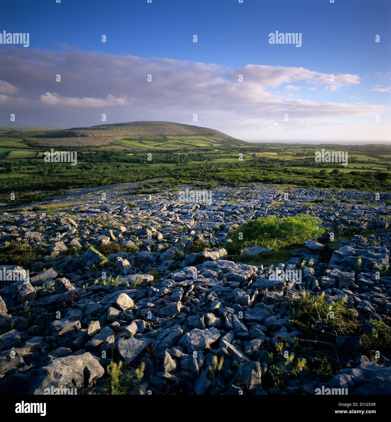
What is recorded here
Indicated is a ruined fairy fort on a western slope in County Clare, marked on maps since 1916 but reduced to a low stone bank hidden beneath meadow sweet and silverweed. The circular earthwork measures twenty-four metres across and still casts a faint shadow at sunset, though no human hand has shaped it for centuries. A later field wall follows its inner edge, dividing townlands without understanding what it surrounds. The fort has not disappeared; it has stopped being visible to people who stop looking for it.
On a gentle W-facing slope in rough grazing and exposed limestone pavement. Indicated on the Cassini edition (1916) of the OS 6-inch map. Listed as ‘Enclosure’ in the RMP (1996). An overgrown circular area (int. diams. 24m N-S; 23m E-W) is defined by a low bank of stone and earth (Wth 2-2.5m; H 0.2-0.3m). A later field wall is built along the inner edge of the original enclosure line and acts as the townland boundary (S-W-N) with Ballyconry townland to the W. The interior grows meadow sweet, silverweed, birds-foot-trefoil and St John’s Wort.
Summary by: Gearóid Conroy and Lynda McCormack
Date of upload: 14 December 2022
The monument record does not grant public access. Check the route and ask the landowner before entering private land.
- What survives
- Recorded monument
Places near here
 Templecronan (in ruins)Church · 748 yd
 CrossCross · 771 yd
 Saint Columba's Catholic Churchchurch/chapel · 1163 yd
 Castle (in ruins)Castle, unclassified · 1225 yd
 Enclosure in Fahee NorthEnclosure · 1363 yd
 Castle in ruinsCastle, tower house · 1698 yd
 Farbrega RockNamed rock · 2.7 mi
 PoulnabroneMemorial · 2.7 mi
 The Portal TombVisitor information · 3.3 mi
 Poulnabrone DolmenHeritage attraction · 3.3 mi
 Poulnabrone - Burren GeositeVisitor information · 3.3 mi
 CaherconnellHeritage attraction · 3.4 mi
Other information
Photo: Credit not shown in the picture search · Rights wording not checked; contact us if this picture should be removed