What is recorded here
In pasture on slight NE facing slope, on demesne lands of Faha House located 525m to NNE. Depicted on the 1840 0S 6-inch map as a grove of trees adjacent to a roadway leading to Faha House and not as an antiquity. On this map the earthwork is shown as a roughly circular-shaped area indicated by a solid line in the same fashion as the surrounding field boundaries. Depicted as a circular-shaped earthwork (approx. diam. 28m) and not as an antiquity on the OS 25-inch map. No surface remains visible today of levelled earthwork on Google Earth orthoimage taken 2020. Possible designed landscape feature associated with Faha House.
See attached Google Earth orthoimages
Compiled by: Martin Fitzpatrick
Date upload: 22 June 2020
The monument record does not grant public access. Check the route and ask the landowner before entering private land.
- What survives
- Recorded monument
Places near here
 Enclosure in Faha DemesneEnclosure · 106 yd
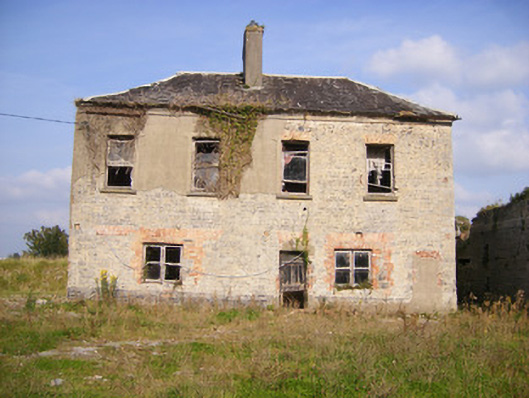 Faha Housecountry house · 652 yd
 Dotted outlineFairy fort / earthen ringfort · 664 yd
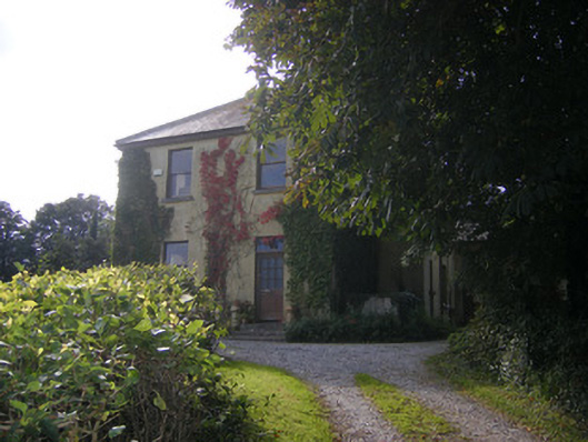 Beech Hillhouse, surgery/clinic · 1203 yd
 Site of CastleCastle, unclassified · 1.8 mi
 CastleCastle, unclassified · 2.0 mi
 Sailors HaggardMemorial · 4.3 mi
 Grass IslandIslet · 5.9 mi
 Maiden RockNamed rock · 6.1 mi
 King's IslandIsland · 6.6 mi
 Mellon PointHeadland · 6.6 mi
 Kinnoor WellSpring · 6.8 mi