
What is recorded here
In improved pasture, crowning the summit of a hill, which provides good views over the surrounding landscape of undulating grassland, with an expanse of low lying, wet pasture to N−E.
A circular embanked enclosure (35-40m) is shown on the 1838 OS 6-inch map; it is not shown on later map editions. The enclosure, most likely a rath, has been levelled, but its outline (diam. c. 30-35m) can still be traced at ground level. A well-defined scarp survives SE–SSW, outside which and contiguous with it is a terrace (Wth c. 2-3m) which may preserve part of an original outer fosse or bank. The terrace is bordered on its outer edge by a slight rise and has a scarped external slope; it is now partly disturbed on its outer edge by quarrying. Elsewhere ephemeral undulations define the circuit of the enclosure.
A post and wire fence on a NNW−SSE axis crosses the E half of the interior, and the W edge of the enclosure is clipped by a NNW−SSE farm track deeply scarped into the hill slope.
Compiled by: Jane O’Shaughnessy
Date of upload: 10 May 2022
The monument record does not grant public access. Check the route and ask the landowner before entering private land.
- What survives
- Recorded monument
Places near here
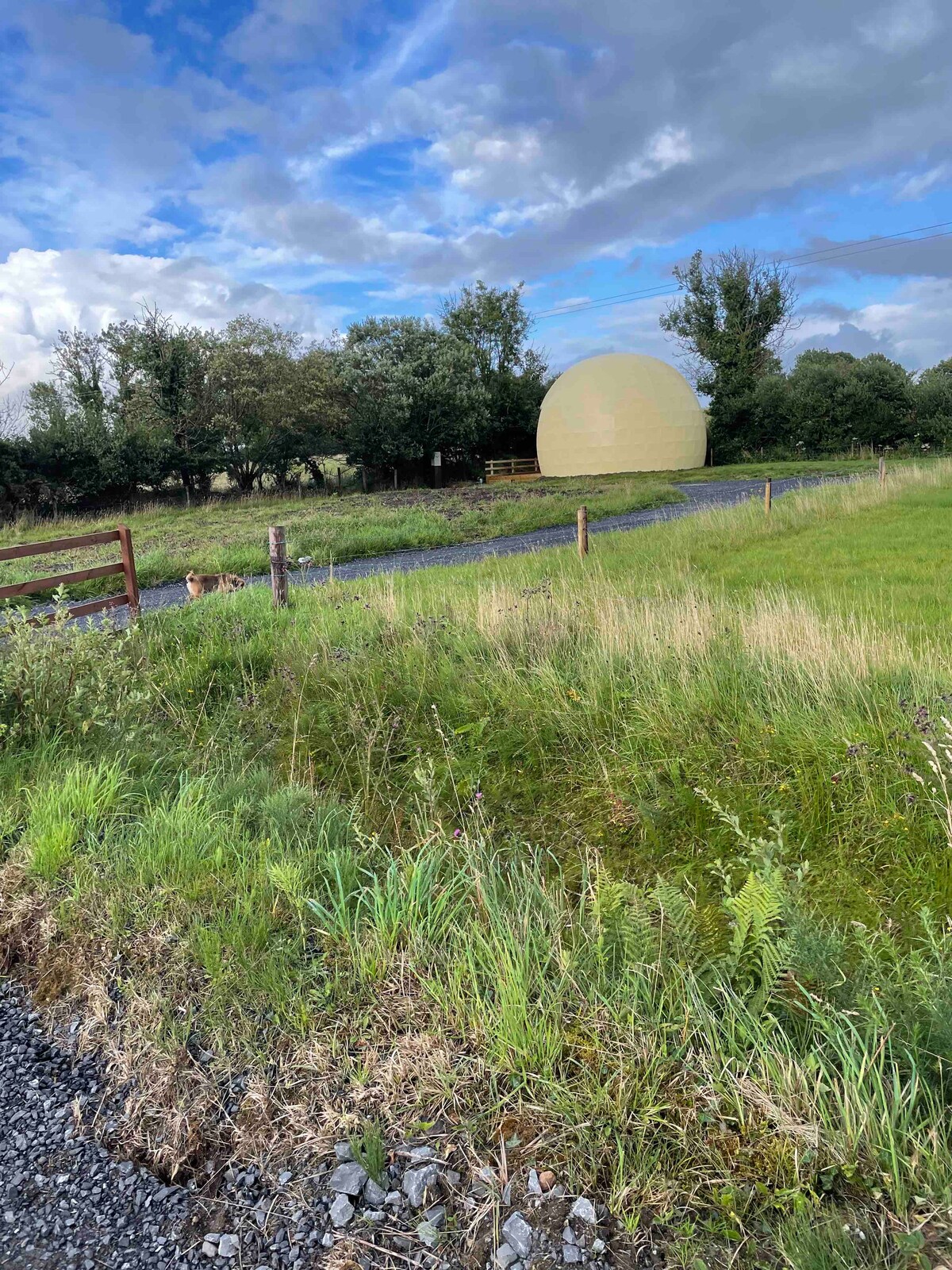 Enclosure in Larganboy EastEnclosure · 951 yd
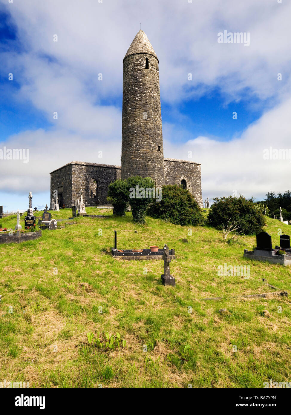 Enclosure in Turlough (costello By.)Enclosure · 1246 yd
 CastleCastle, unclassified · 1.1 mi
 farm housefarm house · 1.2 mi
 Catholic Church of Saint Margaret Mary Alacoquechurch/chapel · 1.5 mi
 Knock MuseumMuseum · 3.8 mi
 Knock ShrineHeritage attraction · 3.8 mi
 Rath Castle in ruinsCastle, tower house · 4.4 mi
 East Mayo Brigade MonumentMemorial · 5.9 mi
 Oak WoodForest · 8.6 mi
 Geoffrey's WoodForest · 9.4 mi
 Site of Killomaine Grave YardArchaeological place · 18 mi
Other information
Photo: Credit not shown in the picture search · Rights wording not checked; contact us if this picture should be removed