What is recorded here
Located in the W half of a cashel (MA118-104001-). This house was recorded in 1982 as roughly circular area (diam. c. 9m) defined by a ruined stone wall, with a few stones jutting from the wall at N possibly indicating the springing of a corbelled roof. There was an entrance at E (SMR file). In 1990 it was recorded as a circular hut site (diam. 4.2m; int. H 1.8m) (Lavelle 1994, 45, no. 279).
Compiled by: Jane O'Shaughnessy
Date of upload: 28 January 2014
The monument record does not grant public access. Check the route and ask the landowner before entering private land.
- What survives
- Recorded monument
Places near here
 Enclosure in TullyduffEnclosure · 223 yd
 Castle in ruinsCastle, tower house · 673 yd
 IndicatedFairy fort / earthen ringfort · 837 yd
 Bawn in Kilquire LowerBawn · 1120 yd
 Church in ruinsChurch · 1158 yd
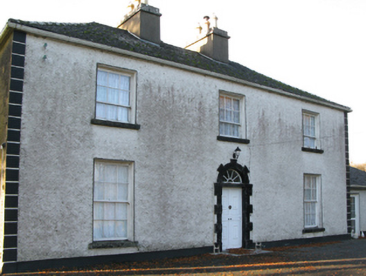 Fort Villefarm house · 1213 yd
 European YewEuropean Yew · 3.6 mi
 SycamoreSycamore · 3.7 mi
 LabbadermotCave · 4.9 mi
 Easter IslandIslet · 6.7 mi
 Matthew IslandIslet · 6.8 mi
 School of FalconryHeritage attraction · 7.6 mi