
What is recorded here
Indicated is a ruined cashel in County Clare, Ireland, where a deep quarry still marks the place its stones were taken. The wall has collapsed into a wide spread, but the crude corner cell and shallow step remain visible beneath rough pasture. People may have built the ring to keep out rain, invaders or forgetfulness, and the quarry suggests they took only what the earth could spare.
On a S-facing slope in rough pasture within a large multiperiod field system (CL009-030001-). Indicated on the first (1842) and hachured on the Cassini (1920) edition of the OS 6-inch map. This subrectangular cashel (dims. 35.3m E–W; 33.8m N–S) is defined by a drystone wall (Wth c. 2.2–3.3m; int. H 0.4–0.8m; ext. H. 0.5–1m) which has mostly collapsed into a stone spread (Wth c. 3–4m). The base of the outer wall-face is visible intermittently, constructed of regular horizontally laid stones. A later wall (H c. 0.7m) has been built over the outer wall-face from S-W-N. There is a step down (D 0.6m) from N to S in the interior, the NE sector of which is overgrown. There is a crudely built cell in the SE interior corner (int. dims. 3.5m N–S; 2m E–W).
Outside at SW there is a deep rectangular quarry (D 1–2m; 20m N–S; c. 5m E–W), possibly the source of the stone used to build the cashel. A cairn (CL009-170----) lies c. 132m to SE.
Compiled by: Gearóid Conroy and Conn Herriott
Date of upload: 30-9-2025
The monument record does not grant public access. Check the route and ask the landowner before entering private land.
- What survives
- Recorded monument
Places near here
 Enclosure in CaherconnellEnclosure · 478 yd
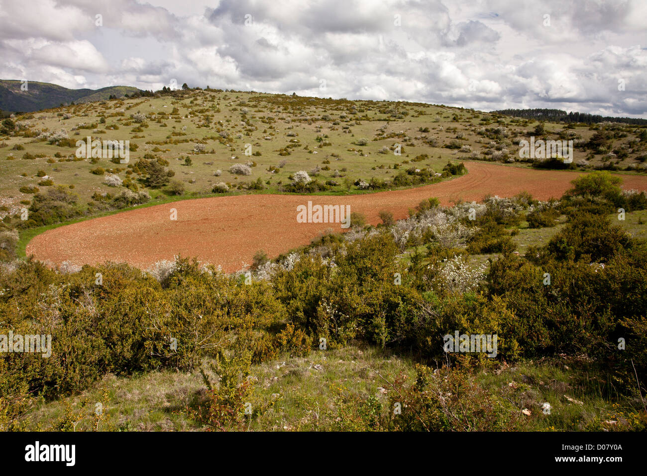 DolineArchaeological place · 581 yd
 Caherconnell Stone FortRuins · 604 yd
 CaherconnellHeritage attraction · 788 yd
 Poulnabrone - Burren GeositeVisitor information · 970 yd
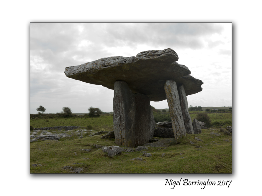
 The Portal TombVisitor information · 1027 yd
 Poulnabrone DolmenHeritage attraction · 1094 yd
 PoulnabroneMemorial · 1546 yd
 Gleansleade Castle (in ruins)Castle, tower house · 1.2 mi
 Cave of the Wild HorsesCave · 1.2 mi
 Carran Church (in ruins)Church · 1.3 mi
 Farbrega RockNamed rock · 2.0 mi
Other information
Photo: Credit not shown in the picture search · Rights wording not checked; contact us if this picture should be removed