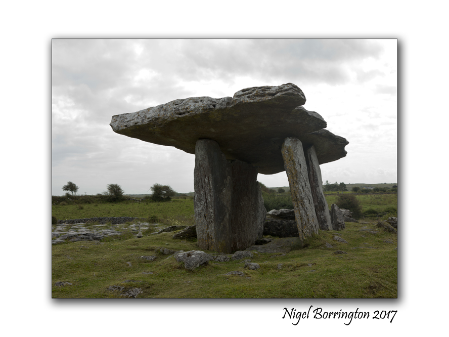
What is recorded here
Caherconnell holds a D-shaped enclosure built from thin limestone slabs on a gentle east-facing shelf beside a small turlough. McMahon called it a stone circle in 1982, but later inspection revealed a relatively modern drystone wall rather than an ancient monument. The discovery reminds us that even clear stone lines can deceive, and human memory must remain flexible when facing what the land presents.
Situated in an area of bare pavement on a gentle E-facing shelf with a small turlough to the N. Listed as ‘Enclosure’ in the SMR (1992) and as ‘Stone enclosure’ in the RMP (1996). Described (McMahon 1982, 6) as D-shaped and comprising thin limestone slabs placed side by side with an entrance feature opposite which was a large stone slab, resembling a stone circle. On inspection in 1998 this was found to be an enclosure (dims. 16m N-S; 13.5m E-W) defined by the remnants of a drystone wall of relatively modern construction with most of the stones laid transversely.
Compiled by: Mary Tunney
Date of upload: 23 February 2016
The monument record does not grant public access. Check the route and ask the landowner before entering private land.
- What survives
- Recorded monument
Places near here
 IndicatedFairy fort / stone ringfort · 244 yd
 DolineArchaeological place · 261 yd
 Caherconnell Stone FortRuins · 319 yd
 CaherconnellHeritage attraction · 510 yd
 Poulnabrone - Burren GeositeVisitor information · 1022 yd
 The Portal TombVisitor information · 1133 yd
 Poulnabrone DolmenHeritage attraction · 1203 yd
 Cave of the Wild HorsesCave · 1681 yd
 PoulnabroneMemorial · 1.1 mi
 Carran Church (in ruins)Church · 1.2 mi
 Gleansleade Castle (in ruins)Castle, tower house · 1.2 mi
 Farbrega RockNamed rock · 2.0 mi
Other information
Photo: Credit not shown in the picture search · Rights wording not checked; contact us if this picture should be removed