
What is recorded here
Indicated is a stone ringfort in County Clare, Ireland. It stands as a cashel, marking human occupation and resistance against forgetting. The stones remain visible while much of its history waits to be recovered.
The Archaeological Survey of Ireland (ASI) is in the process of providing information on all monuments on The Historic Environment Viewer (HEV). Currently the information for this record has not been uploaded. To access available information for research purposes please make an appointment in advance with the Archive Unit (open Fridays 10.00 am – 5.00 pm), Department of Housing, Local Government and Heritage, The Custom House, Dublin 1 D01W6XO or email NMarchive@housing.gov.ie.
Caherconnell is a well-preserved ringfort located in County Clare, Ireland, dating to the early medieval period, likely between the 6th and 10th centuries AD. It is traditionally associated with the Dalcassian kings of Munster and is linked to local folklore, including tales connected to the legendary High King of Ireland, Brian Boru.
The monument record does not grant public access. Check the route and ask the landowner before entering private land.
- What survives
- Recorded monument
Places near here
 Fairy fort / stone ringfort in CaherconnellFairy fort / stone ringfort · 206 yd
 Enclosure in CaherconnellEnclosure · 244 yd
 Caherconnell Stone FortRuins · 302 yd
 CaherconnellHeritage attraction · 416 yd
 Poulnabrone - Burren GeositeVisitor information · 1050 yd
 The Portal TombVisitor information · 1179 yd
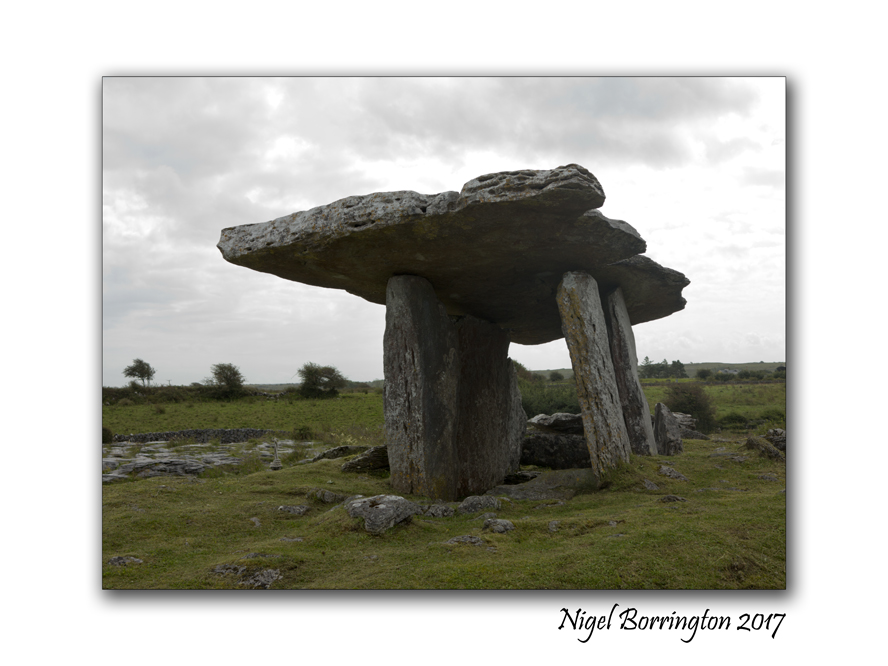
 Poulnabrone DolmenHeritage attraction · 1246 yd
 Cave of the Wild HorsesCave · 1447 yd
 Carran Church (in ruins)Church · 1.2 mi
 Gleansleade Castle (in ruins)Castle, tower house · 1.2 mi
 PoulnabroneMemorial · 1.2 mi
 Farbrega RockNamed rock · 2.0 mi
Other information
Photo: Credit not shown in the picture search · Rights wording not checked; contact us if this picture should be removed