What is recorded here
Located towards the top of the SW-facing slope of the shoulder of a drumlin. It is depicted as an embanked enclosure describe as a ‘fort’ in gothic lettering on the 1834 edition of the OS 6-inch map and as a curving field bank SE-W-N on the 1907 edition. A scarp (H 1m) and hedge survives SE-W-N (Chord c. 40m) but the rest of the perimeter cannot be traced. There is no visible fosse.
The above description is derived from the published 'Archaeological Inventory of County Monaghan' (Dublin: Stationery Office, 1986). In certain instances the entries have been revised and updated in the light of recent research.
Date of revision: 28 July 2017
The monument record does not grant public access. Check the route and ask the landowner before entering private land.
- What survives
- Recorded monument
Places near here
 IndicatedFairy fort / ringfort · 560 yd
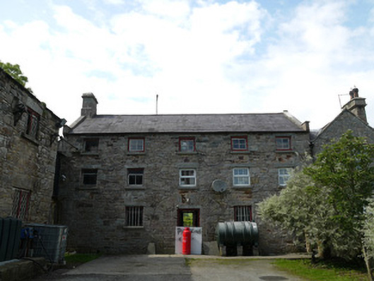 Derrylavan Millstore/warehouse · 892 yd
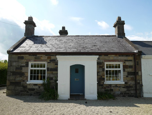 worker's houseworker's house · 895 yd
 Horse-chestnutHorse-chestnut · 1386 yd
 European BeechEuropean Beech · 1594 yd
 Fairy fort / earthen ringfort in AghalileFairy fort / earthen ringfort · 1657 yd
 Mannan Castle (in ruins)Castle, Anglo-Norman masonry castle · 3.1 mi
 Drumerlough MoreMountain / peak · 3.2 mi
 TobernagalliaghSpring · 3.2 mi
 RaferaghMountain / peak · 4.1 mi
 Castle ruinsCastle, unclassified · 4.4 mi
 Giants GraveArchaeological place · 4.8 mi