What is recorded here
A large oval enclosure (diam. 50m NW-SE; overall NE-SW 65m) visible as a cropmark on aerial photographs (ASIAP (18) 30-33, August 1996). The W portion of the monument is in a different field and does not show up clearly as a cropmark but appears as a darker area in the field. The enclosure is indicated as a large tree-ring on the 2nd ed. 6-inch OS map.
Compiled by: Jean Farrelly
Date of upload: 31 August 2015
The monument record does not grant public access. Check the route and ask the landowner before entering private land.
- What survives
- Recorded monument
Places near here
 Rock WoodWood · 289 yd
 Enclosure in Dunmore (fassidinin By.)Enclosure · 341 yd
 Jack's HaggardWood · 619 yd
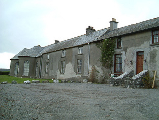 Dunmore Cottagehouse · 688 yd
 Catholic Church of the Most Holy Trinitychurch/chapel · 731 yd
 Enclosure in Dunmore WestEnclosure · 1049 yd
 CastleCastle, unclassified · 1.4 mi
 Lady DesartMemorial · 1.7 mi
 The RockCastle, ringwork · 1.9 mi
 Graveyard in ThreecastlesGraveyard · 2.9 mi
 Heritage Project Interpretation of the City Walls in Butler HouseVisitor information · 3.2 mi
 WelcomeVisitor information · 3.5 mi