What is recorded here
Dundonnell is a bawn in County Westmeath, Ireland. Its castle site stands inside a subrectangular enclosure marked by remaining banks, a fosse and a drain, while marshy ground surrounds much of the pasture. The uneven interior still holds faint wall footings and nearby ditches, suggesting a busy defended place rather than an abandoned oddity.
Situated in pasture which is surrounded by low-lying marshy ground to SE, S and W and which is overlooked by a low rise to N. Dundonnell Castle site (WM025-010----) stands in N quadrant of a subrectangular-shaped enclosure (approx. dims. 67m NW-SE x 62m NNE-SSW) defined by the remains of a substantial bank and fosse to NW, NE and SE and by a drain to SW. The interior is uneven with slight rises, low banks and the scant remains of some wall footings. The area to the N, E and SE is traversed by a series of banks and ditches which form a complex of enclosures adjoining the castle site. The remains of a possible medieval road (WM025-010002-) or sunken way is visible to NE.
Compiled by: Alison McQueen, Vera Rahilly and Caimin O’Brien.
Date of upload: 03 September 2019
Dundonnell Castle was built in the 17th century by the Macdonnell family, a prominent Gaelic clan in the region. The site is important as it represents the defensive and residential architecture of the early modern period in the Scottish Highlands.
The monument record does not grant public access. Check the route and ask the landowner before entering private land.
- What survives
- Recorded monument
Places near here
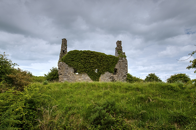 Dundonnell CastleCastle, unclassified · 32 yd
 IndicatedRoad, hollow-way · 304 yd
 Jamestown Househouse · 411 yd
 Ancient Ring FortWood · 1098 yd
 Tober FintanHoly well · 1533 yd
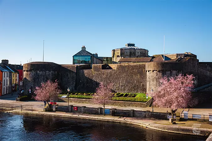 Oldtown CastleCastle · 1.0 mi
 Settlement desertedSettlement deserted, medieval · 1.0 mi
 Hill of UisneachMountain / peak · 3.6 mi
 European ashEuropean ash · 4.5 mi
 Carrickphilbin IslandIslet · 5.3 mi
 Srudarra IslandIslet · 5.5 mi
 Abbeyshrule AbbeyRuins · 9.1 mi