What is recorded here
Marked as a rectangular wooded enclosure on the 1839 ed. of the OS 6-inch map and as a moated enclosure on the 1940 ed. It is located towards the bottom of a NE-facing slope. This is an overgrown square area (dims. 33m N-S; 33m E-W) defined by earthen banks (Wth 3-5m; int. H 0.5m) with external flat-bottomed moats (Wth c. 10m; D 2m) on all sides except the W where the moat is missing. The moat is recut at the E and S, and there is an outer bank at N. (Barry 1977, 220, WX 55)
The above description is derived from the published 'Archaeological Inventory of County Wexford' (Dublin: Stationery Office, 1996). In certain instances the entries have been revised and updated in the light of recent research.
Compiled by: Michael Moore
Date of upload/revision: 12 July 2012
The monument record does not grant public access. Check the route and ask the landowner before entering private land.
- What survives
- Recorded monument
Places near here
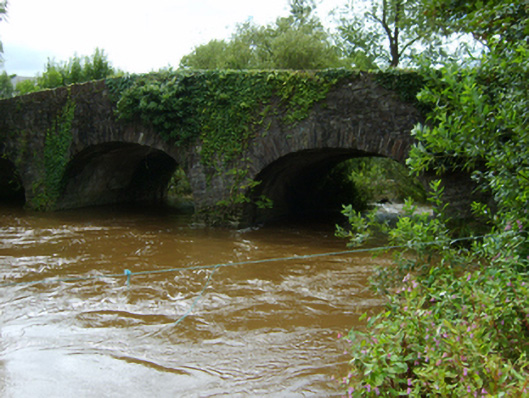 Ballynapierce Bridgebridge · 667 yd
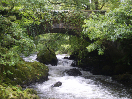 Victoria Bridgebridge · 708 yd
 CastleCastle, ringwork · 737 yd
 Concentric enclosure in Park (bantry By.)Concentric enclosure · 1243 yd
 Site of ChurchChurch · 1268 yd
 Black Castle (in ruins)Castle, tower house · 1.1 mi
 National 1798 CentreMuseum · 2.2 mi
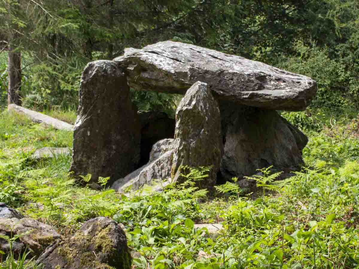 Bree HillMountain / peak · 2.5 mi
 Battle of Vinegar HillMajor battlefield · 2.5 mi
 Duffry GateMemorial · 2.5 mi
 U.N. Peace MemorialMonument · 2.6 mi
 Raheennahoon HillMountain / peak · 4.6 mi