What is recorded here
In the SE end of Loch Dhúleitir/Dooletter Lough. Indicated on the 1839 edition and 1898 revision of the OS 6-inch map as a small island. Following a prolonged dry spell in the summer of 2010, the water level of the lake dropped revealing that this was the remains of a small roughly subcircular crannog (c. 14m N-S; c. 11m E-W) which was defined by a stone wall. Access would have been gained at E and most of the interior had been sluiced out by wave action (pers. comm. M. Gibbons). Current aerial imagery (OSi MapGenie 2013-2018) suggests that a causeway may extend to the SE off the entrance. (Siggins 2010)
The following image has been uploaded: GA064-011----.pdf
Compiled by: Olive Alcock
Date of upload: 7 July 2023
Siggins, L. 2010 Crannóg site revealed after lake’s level drops. The Irish Times, 29 June 2010.
The monument record does not grant public access. Check the route and ask the landowner before entering private land.
- What survives
- Recorded monument
Places near here
 Knockboy ForestryForest · 1.0 mi
 Crannog in CarnaCrannog · 1.1 mi
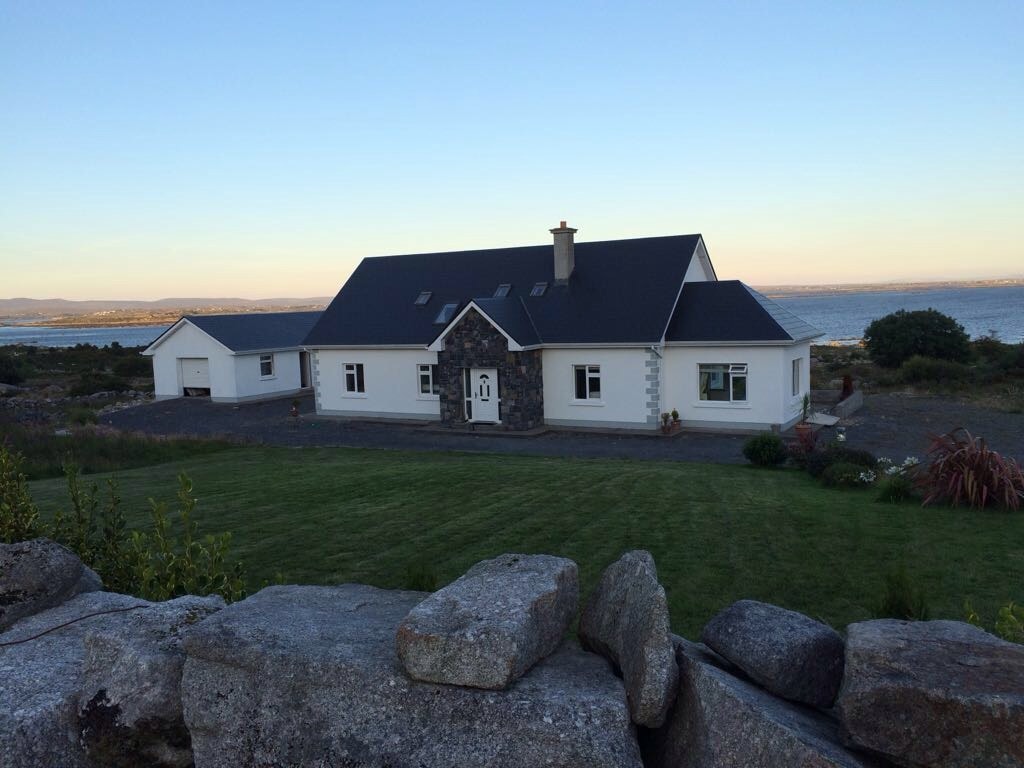 L.K.Kiln, lime · 1.5 mi
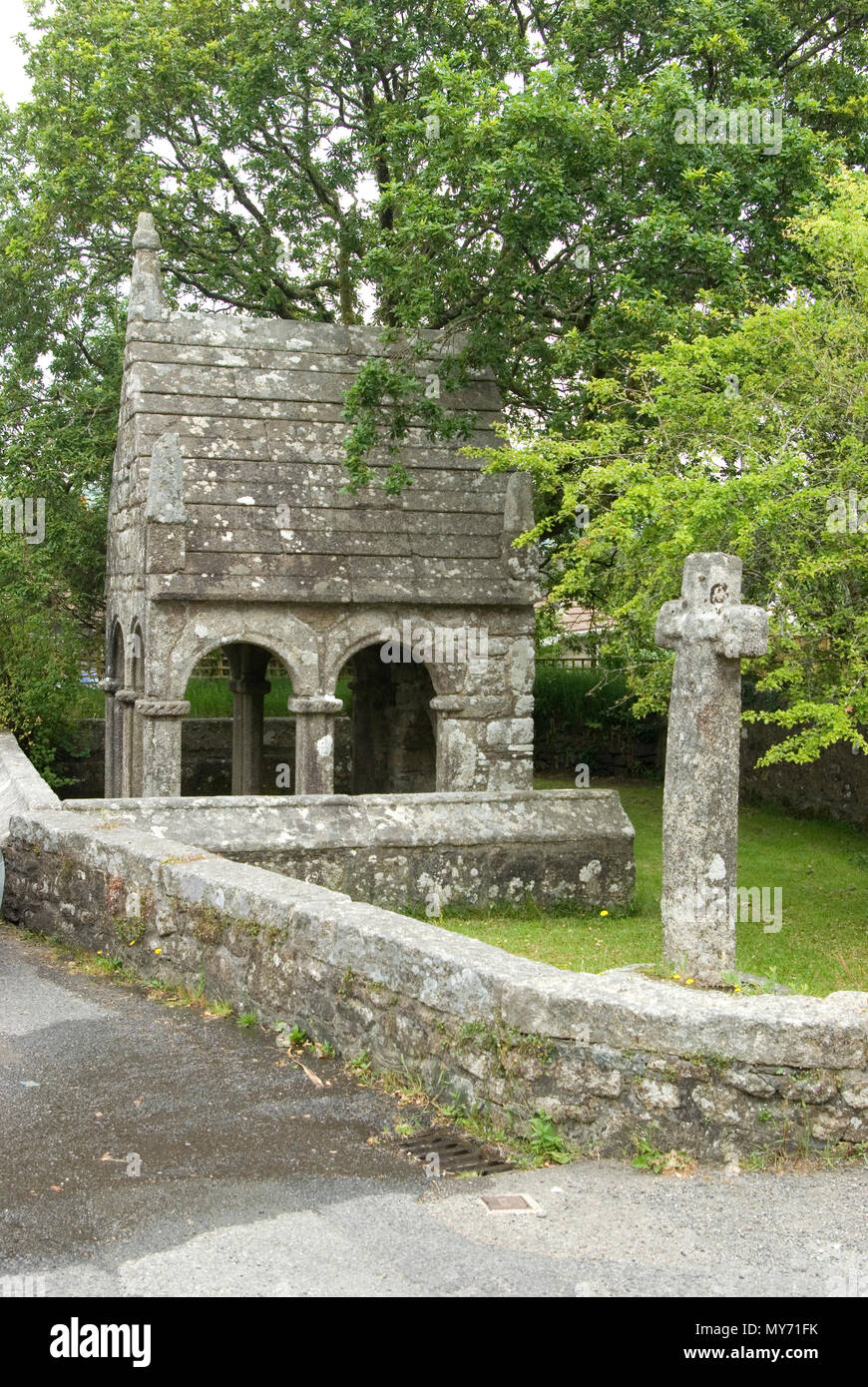 Holy well in GlinsceHoly well · 1.5 mi
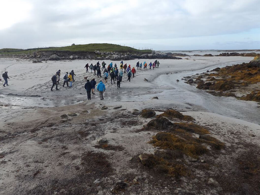 MillWater mill, unclassified · 1.7 mi
 Cnoc GlinsceMountain / peak · 1.8 mi
 Oileán FadaIslet · 2.8 mi
 Roisín an ChalaidhIslet · 2.9 mi
 Trá MhaíroisBeach / strand · 3.4 mi
 Ard Castle (in ruins)Castle, tower house · 3.6 mi
 Cora na gCúgHeadland · 3.9 mi
 Ros DúgáinHeadland · 3.9 mi