What is recorded here
Indicated is a small polygonal enclosure on a gentle NW-facing slope at the W foothills of the E-W Slieve na Calliagh ridge, marked only on the 1908 edition of the OS 6-inch map. Inside a largely collapsed drystone wall stands a grass-covered cairn ten metres across, waiting for someone to remember why it was built. The entrance faces SE, as if inviting entry rather than guarding what is already forgotten.
Located on a gentle NW-facing slope at the W foothills of the E-W Slieve na Calliagh ridge. It is indicated as a small polygonal enclosure only on the 1908 edition of the OS 6-inch map. This is a small enclosure (int. diam. 17m) defined by a drystone-built wall (Wth 1.2m; H 0.5m), now largely collapsed, with an entrance (Wth 1.4m) at SE. At the centre is a grass-covered cairn (diam. 10m; H c. 1m).
The above description is derived from the published 'Archaeological Inventory of County Meath' (Dublin: Stationery Office, 1987). In certain instances the entries have been revised and updated in the light of recent research.
Compiled by: Michael Moore
Date of revision: 1 November 2018
The monument record does not grant public access. Check the route and ask the landowner before entering private land.
- What survives
- Recorded monument
Places near here
 indicatedChurch · 568 yd
 CastleCastle, unclassified · 573 yd
 Enclosure in TubrideEnclosure · 1063 yd
 C11Named rock · 1162 yd
 Cairn FArchaeological place · 1166 yd
 Carnbane WestMountain / peak · 1206 yd
 LoughcrewMegalithic tomb cemetery · 1532 yd
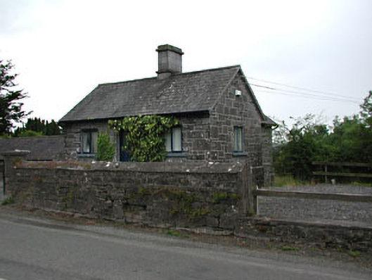 gate lodgegate lodge · 1638 yd
 Common LimeCommon Lime · 1.2 mi
 MoatCastle, motte · 1.2 mi
 European YewEuropean Yew · 1.2 mi
 Zip WireHeritage attraction · 1.2 mi