What is recorded here
On the W-facing slope of a low hillock in undulating countryside with good views in all directions, in an upland region. The ringfort consists of an irregular-shaped area (diam. 53m E-W; 56m SW-NE) enclosed by a poorly preserved bank (base Wth 2.5m; top Wth 1.8m; int. H 0.2m; ext. H 1m) visible from E to SE only, elsewhere it has been reduced to a scarp (H 0.25m-0.75m) with traces of an outer fosse (Wth 1.7m; ext. D 0.3m). The bank and scarp form a semi-circular enclosure from E through S to SW from where a well-preserved straight-sided field bank encloses the rest of the monument as indicated on the 1st (1840) ed. OS 6-inch map. This well-preserved earth and stone bank (top Wth. 1m; base Wth 1.5m; int. H 0.8m; ext. H 1.4m) which has evidence of external stone facing may be a later feature replacing or augmenting the original enclosing element from W through N to E.
Compiled by: Jean Farrelly
Date of upload: 26 August 2011
The monument record does not grant public access. Check the route and ask the landowner before entering private land.
- What survives
- Recorded monument
Places near here
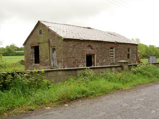 Ironmills Creamerycreamery · 1019 yd
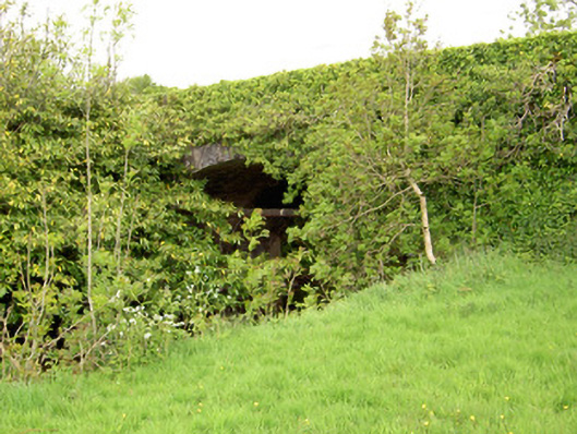 Ironmills Bridgebridge · 1105 yd
 CastleCastle, unclassified · 1106 yd
 Ballysheeda Castle (in Ruins)Castle, tower house · 1282 yd
 Enclosure in Ballysheeda (donohill Par.)Enclosure · 1.2 mi
 Green Field ParkWood · 1.5 mi
 Ladys WellHoly well · 1.6 mi
 Gortard WoodForest · 1.9 mi
 LackenacreenaMountain / peak · 4.3 mi
 Soloheadbeg Ambushambush · 4.5 mi
 GortnageraghMountain / peak · 4.7 mi
 Soloheadbeg Ambush SiteMemorial · 5.2 mi