What is recorded here
Indicated is a large crannog in Black Lough, County Cavan, Ireland. It stands eighty metres from the shoreline as an irregular island stretching seventy-five metres north-northeast to south-southwest and fifty metres west-northwest to east-southeast. Reeds surround a gravel flat where wooden piles still mark the west shore, preserving the shape of a lived-upon lake home rather than a passive stone heap.
Large irregularly shaped island (dims. c.75m NNE-SSW; c. 50m WNW-ESE) in deep water, in Black Lough, c. 80m from the shoreline. Davies (NMI Survey 1941) described the island as being a gravel flat surrounded by reeds with many piles on the W shore.
The above description is derived from the published 'Archaeological Inventory of County Cavan' (Dublin: Stationery Office, 1995). In certain instances the entries have been revised and updated in the light of recent research.
Date of upload/revision: 22 December 2008
The monument record does not grant public access. Check the route and ask the landowner before entering private land.
- What survives
- Recorded monument
Places near here
 Enclosure in AshgroveEnclosure · 1245 yd
 ArdanMountain / peak · 1274 yd
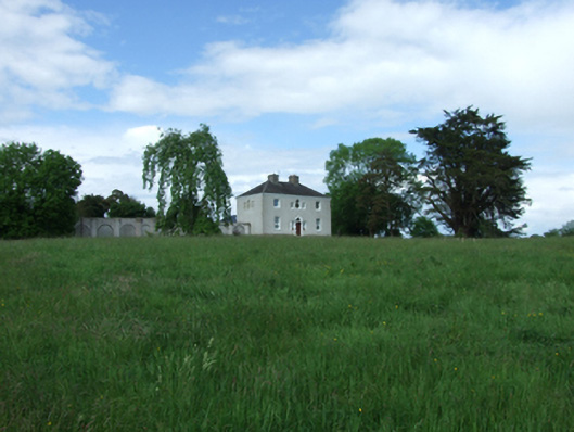 Ashgrove Housecountry house · 1377 yd
 EnclosureEnclosure, large enclosure · 1564 yd
 Putiaghan Lower ForestForest · 1638 yd
 AshgroveMountain / peak · 1696 yd
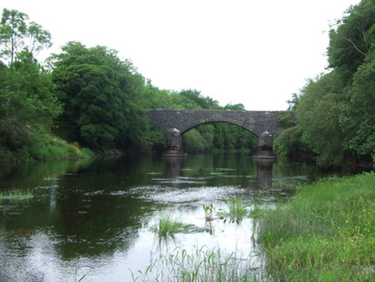 Baker's Bridgebridge · 1.2 mi
 Cornadarragh ForestForest · 1.4 mi
 Drumlane AbbeyHeritage attraction · 1.7 mi
 InishmuckIsland · 1.7 mi
 CastleCastle, unclassified · 1.8 mi
 Belturbet Railway Station Visitor CentreHeritage attraction · 1.8 mi