
What is recorded here
Located towards the W end of the sub-oval Drumgole Lough (max. dims c. 720m ENE-WSW; c. 300m NNW-SSE) which is beginning to suffer depletion and infill at the W end. It is depicted as a small island on the 1834 and 1907 editions of the OS 6-inch map. This is a circular cairn (diam. 15m; H c. 1.5m) with some trees. There are no structural features evident but large quantities of animal bones are present.
The above description is derived from the published 'Archaeological Inventory of County Monaghan' (Dublin: Stationery Office, 1986). In certain instances the entries have been revised and updated in the light of recent research.
Revised by: Michael Moore
Date of revision: 9 May 2018
The monument record does not grant public access. Check the route and ask the landowner before entering private land.
- What survives
- Recorded monument
Places near here
 Crannog in Mullaghmore (dartree By.)Crannog · 1527 yd
 Hilltop enclosure in MaghernakellyHilltop enclosure · 1682 yd
 Tomb HillMountain / peak · 1685 yd
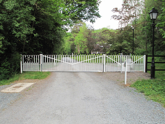 Annaghmakerig Housedemesne walls/gates/railings · 1.2 mi
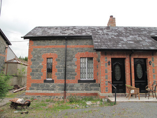 worker's houseworker's house · 1.2 mi
 Rabbitburrow WoodWood · 1.8 mi
 Brown Bog WoodForest · 1.9 mi
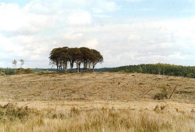 Flagpole HillMountain / peak · 2.2 mi
 Roosky Castle (Site of)Castle, ringwork · 4.5 mi
 Bawn in DrumsheilBawn · 4.7 mi
 Saint John's WellSpring · 5.1 mi
 Senator Billy Fox 1939 - 1974Memorial · 8.6 mi
Other information
Photo: Credit not shown in the picture search · Rights wording not checked; contact us if this picture should be removed