
What is recorded here
Indicated is a collapsed stone ringfort in County Cavan, Ireland, where a forty-metre circular mound still rises beneath dense vegetation. The drystone wall fell long before people stopped visiting, yet the fort remains marked on old maps and hidden from most modern eyes. It is the kind of place where memory does not leave, it waits for someone to stop looking for a road and start listening for a shape.
Marked 'Fort' on 1836 and 1876 eds. Raised circular area (int. diam. c. 40m) enclosed by a largely collapsed drystone wall. Original entrance not recognisable. Densely overgrown with vegetation.
The above description is derived from the published 'Archaeological Inventory of County Cavan' (Dublin: Stationery Office, 1995). In certain instances the entries have been revised and updated in the light of recent research.
Date of upload/revision: 22 December 2008
The monument record does not grant public access. Check the route and ask the landowner before entering private land.
- What survives
- Recorded monument
Places near here
 DrumcalpinMountain / peak · 560 yd
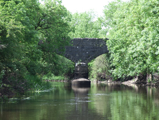 Urney Bridgebridge · 967 yd
 Church (in Ruins)Church · 1045 yd
 Annagh Lough BeachBeach / strand · 1205 yd
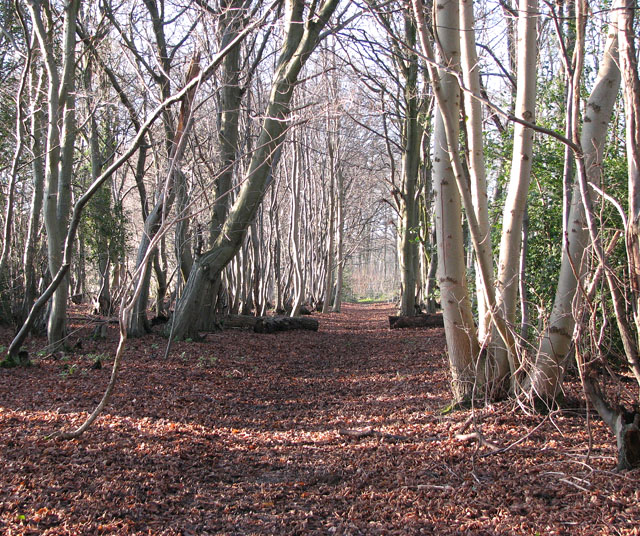 Kilnaglare Lower WoodForest · 1704 yd
 AshgroveMountain / peak · 1735 yd
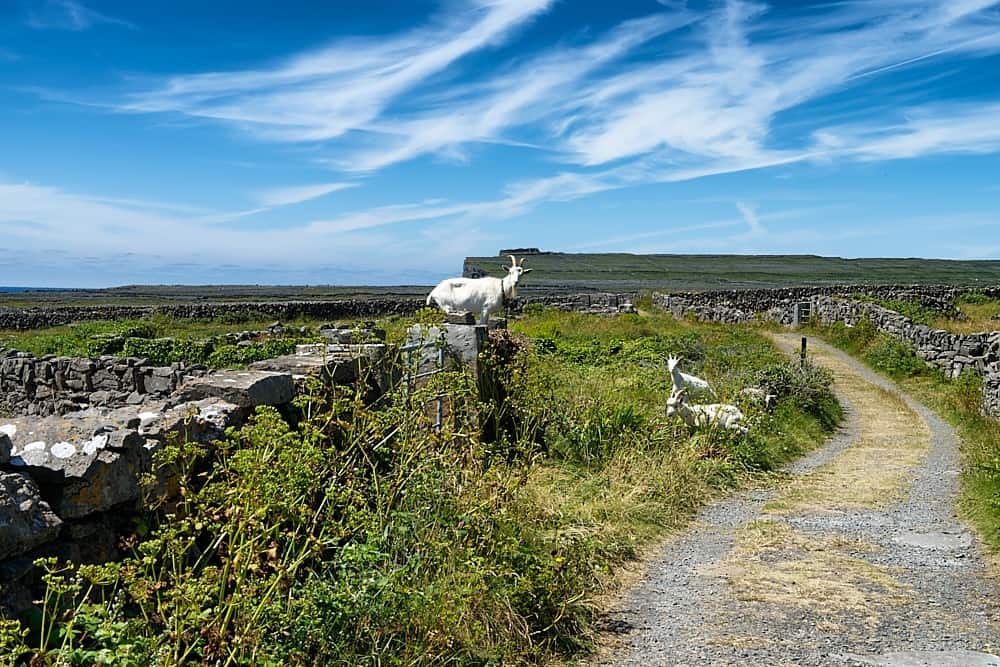 Granshagh or Riverview Fort (Site of)Enclosure · 1.0 mi
 Enclosure in AshgroveEnclosure · 1.2 mi
 Nahillah ParkWood · 1.3 mi
 Giants GraveArchaeological place · 1.4 mi
 InishmuckIsland · 1.7 mi
 Duck IslandIsland · 2.1 mi
Other information
Photo: Credit not shown in the picture search · Rights wording not checked; contact us if this picture should be removed