
What is recorded here
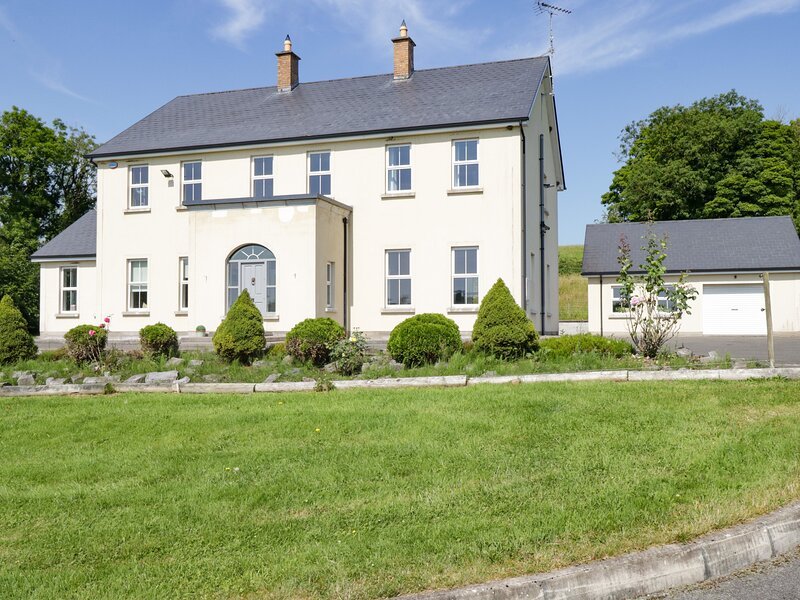
A much-disturbed, raised circular area (int. dims. 39m E-W; 36m N-S) enclosed by a low earthen bank and the remains of a fosse. The bank has been extensively modified from ENE-E-SE with a modern shed constructed against its external face at NE. Original entrance not recognisable. Internal area is divided into two unequal portions by a roadway aligned NE-SW. The smaller SE portion is now occupied by a modern dwelling-house.
The above description is derived from the published 'Archaeological Inventory of County Cavan' (Dublin: Stationery Office, 1995). In certain instances the entries have been revised and updated in the light of recent research.
Date of upload/revision: 22 December 2008
The monument record does not grant public access. Check the route and ask the landowner before entering private land.
- What survives
- Recorded monument
Places near here
 St Andrew’s Church of Ireland Churchchurch/chapel · 534 yd
 Nahillah ParkWood · 955 yd
 Church (in Ruins)Church · 1220 yd
 Annagh Lough BeachBeach / strand · 1393 yd
 DrumcalpinMountain / peak · 1556 yd
 Enclosure in BunEnclosure · 1.1 mi
 Rock WoodWood · 1.2 mi
 Friars Fort (Site of)Enclosure · 1.4 mi
 AshgroveMountain / peak · 1.5 mi
 Belturbet Heritage Railway Station MuseumMuseum · 2.4 mi
 Welcome to Belturbet StationVisitor information · 2.4 mi
 Belturbet Railway Station Visitor CentreHeritage attraction · 2.4 mi
Other information
Photo: Credit not shown in the picture search · Rights wording not checked; contact us if this picture should be removed