What is recorded here
In pastureland c. 20m to the NE of the church (GA114-069001-). This natural spring well is delimited by a roughly rectangular drystone wall (L 2.2m). At its N end, where it is covered by a single lintel, it is 0.8m wide and it narrows to 0.45m at the S end where a series of three steps access the well. At the time of the site visit, a channel (L 20m) running E from the well lead to a dried-up watering hole. Water was being pumped from the well to a trough c. 30m to the ENE. The well may be associated with the church to the SW but no votive offerings were noted at it.
Compiled by: Olive Alcock
Date of upload: 14 June 2017
The monument record does not grant public access. Check the route and ask the landowner before entering private land.
- What survives
- Recorded monument
Places near here
 Church (in ruins)Church · 31 yd
 Man-made underground passage in Ballylee (kiltartan By.)Man-made underground passage · 1345 yd
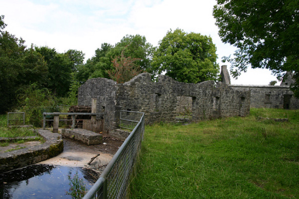 mill (water)mill (water) · 1508 yd
 Enclosure in NewhallEnclosure · 1690 yd
 Ballylee CastleCastle, tower house · 1694 yd
 Rahaly Castle (in ruins)Castle, tower house · 1.2 mi
 European ashEuropean ash · 1.5 mi
 HawthornHawthorn · 1.5 mi
 Drumharsna CastleHeritage attraction · 3.7 mi
 KnockapollboyMountain / peak · 4.9 mi
 KnocknarebanaMountain / peak · 5.8 mi
 Kilmacduagh Monastic SiteVisitor information · 6.8 mi