
What is recorded here
In pastureland overlooking Lough Coy to the E. This rectangular medieval church (9.85m E-W; 5.6m N-S; wall T 0.85m) is densely overgrown with ivy. The W gable (H c. 4m) and N side-wall (H 2.3m) are the best preserved walls and are constructed of large well-mortared blocks of limestone. Only the foundation courses (o.4m) of the E gable and S side-wall survive. A plinth is visible beneath all the walls. No architectural features were visible but they may be concealed by the ivy. A stone-lined well (GA114-069003-), possibly associated, lies c. 20m to the NE. There is a children's burial ground (GA114-069002-) immediately to the S and a ringfort (GA114-070----) lies c. 140m to the SW.
Compiled by: Galway Archaeological Survey, UCG
Date of upload: 10 February 2020
A local church or high cross; wider significance not recorded.
The monument record does not grant public access. Check the route and ask the landowner before entering private land.
- What survives
- Recorded monument
Places near here
 Man-made underground passage in Ballylee (kiltartan By.)Man-made underground passage · 1314 yd
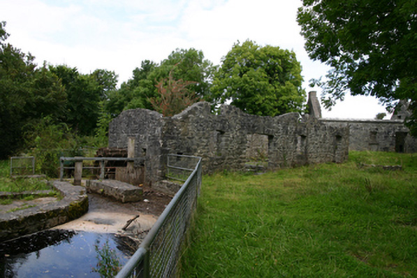 mill (water)mill (water) · 1477 yd
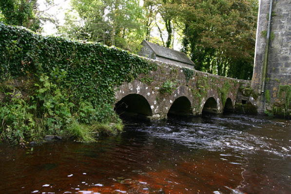 bridgebridge · 1655 yd
 Ballylee CastleCastle, tower house · 1663 yd
 Enclosure in NewhallEnclosure · 1668 yd
 Rahaly Castle (in ruins)Castle, tower house · 1.3 mi
 European ashEuropean ash · 1.5 mi
 HawthornHawthorn · 1.5 mi
 Drumharsna CastleHeritage attraction · 3.7 mi
 KnockapollboyMountain / peak · 5.0 mi
 KnocknarebanaMountain / peak · 5.8 mi
 Kilmacduagh Monastic SiteVisitor information · 6.8 mi
Other information
Photo: Credit not shown in the picture search · Rights wording not checked; contact us if this picture should be removed