
What is recorded here
Located towards the bulbous N end of St Peter’s Lough, a subrectangular lake (dims c. 475m NNW-SSE; c. 100-170m ENE-WSW), the E half of which is in Co. Armagh. It is depicted as a large island on the 1834 and 1907 editions of the OS 6-inch map. This is a large overgrown subcircular cairn (dims 22m N-S; 18m E-W) composed largely of stone with no earth but kerbstones can be distinguished at the E edge. No wooden features were visible but where erosion had broken the surface animal bones and charcoal was visible.
The above description is derived from the published 'Archaeological Inventory of County Monaghan' (Dublin: Stationery Office, 1986). In certain instances the entries have been revised and updated in the light of recent research.
Revised by: Michel Moore
Date of revision: 22 June 2018
The monument record does not grant public access. Check the route and ask the landowner before entering private land.
- What survives
- Recorded monument
Places near here
 Tullycollive Bridgebridge · 1671 yd
 Crane IslandIsland · 1.1 mi
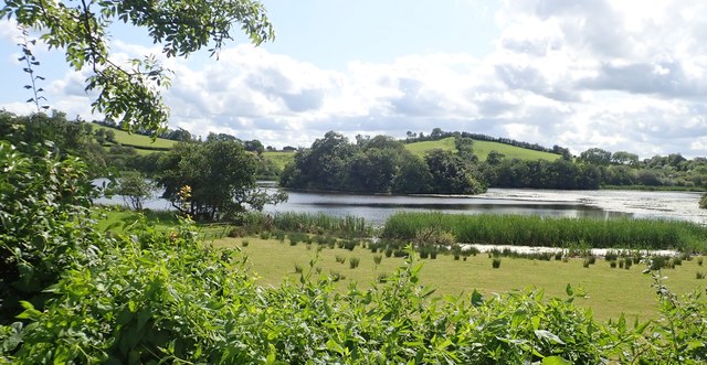 CRANNOG IN LISLEITRIM LOUGH in Kiltybane OR LisleitrimCRANNOG IN LISLEITRIM LOUGH · 1.5 mi
 Dairy HillMountain / peak · 1.5 mi
 Church (in Ruins)Church · 1.5 mi
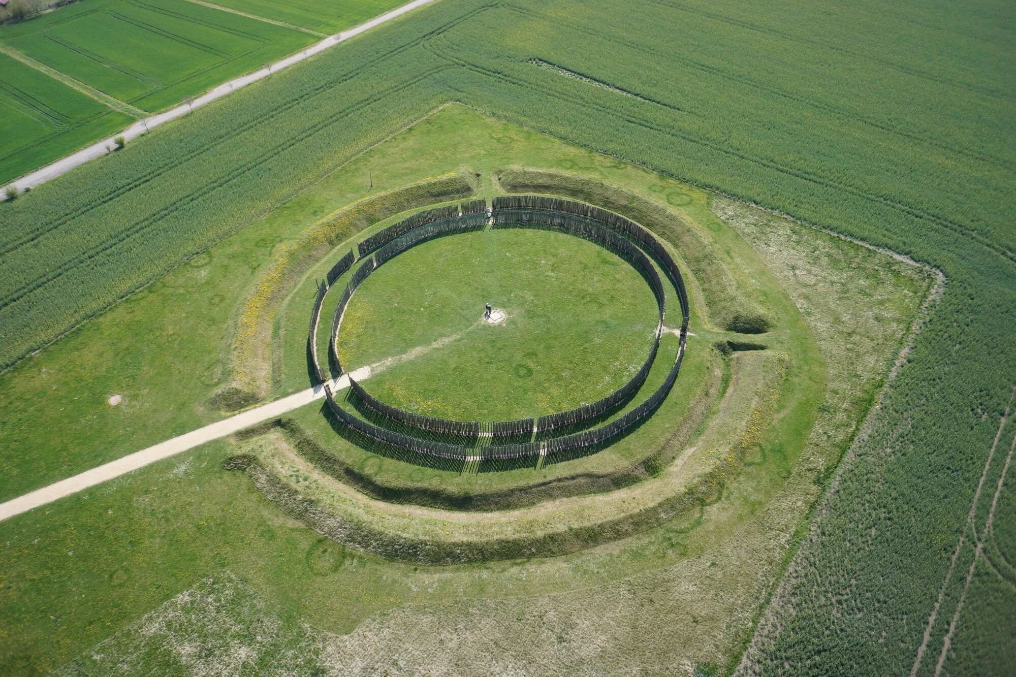 A.P. SITEA.P. SITE, large circular enclosure · 1.5 mi
 Whites IslandIslet · 1.9 mi
 The Black Castle Chambered GraveArchaeological place · 2.0 mi
 Lough MucknoLake and park landscape · 2.1 mi
 Blaney CastleCastle · 2.8 mi
 Big Tom Memorial StatueMemorial · 3.0 mi
 John Francis GreenMemorial · 3.1 mi
Other information
Photo: Credit not shown in the picture search · Rights wording not checked; contact us if this picture should be removed