What is recorded here
In tillage, on N-facing slope. Depicted as hachured semicircular arc (C 15m) N->S on 1904 OS 6-inch map; broken line indicates arc on 1938 OS 6-inch map. Arc (C 24m) defined by natural scarp NW->NNE; low rise with shallow external depression (D 0.25m) NNE->ESE. Interior level.
The above description is derived from the published 'Archaeological Inventory of County Cork. Volume 3: Mid Cork' (Dublin: Stationery Office, 1997). In certain instances the entries have been revised and updated in the light of recent research.
Date of upload/revision: 14 January 2009
The monument record does not grant public access. Check the route and ask the landowner before entering private land.
- What survives
- Recorded monument
Places near here
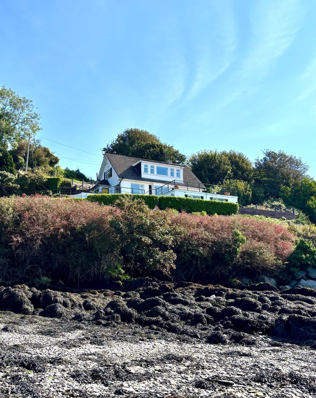 Fulacht fia in Dromgarriff NorthFulacht fia · 154 yd
 IndicatedFairy fort / earthen ringfort · 657 yd
 Graveyard in KilmonaGraveyard · 1030 yd
 Glamcam BrBridge · 1.4 mi
 Pairc Ath Na hEornaMemorial · 1.7 mi
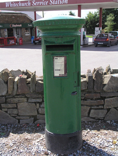 post boxpost box · 1.8 mi
 Garrycloyne Castle (in Ruins)Castle, tower house · 2.3 mi
 Castle (in Ruins)Castle, tower house · 3.4 mi
 BatsVisitor information · 3.4 mi
 Waterloo Loop WalkWalking route · 3.6 mi
 River Martin Mill & WeirVisitor information · 3.6 mi
 Bottle HillMountain / peak · 3.7 mi