What is recorded here
In rough grazing on gentle E-facing slope. Square area (44m N-S; 42m E-W) enclosed by stone-faced earthen bank (int. H 1.3m; max. Wth 2.5m); recent in appearance; shallow outer fosse (D c.0.4m). Interior mostly level; N-S cultivation ridges. Irregular mound (20m N-S; 19m E-W) abuts inner face of E bank.
The above description is derived from the published 'Archaeological Inventory of County Cork. Volume 1: West Cork' (Dublin: Stationery Office, 1992). In certain instances the entries have been revised and updated in the light of recent research.
Date of upload/revision: 14 January 2009
The monument record does not grant public access. Check the route and ask the landowner before entering private land.
- What survives
- Recorded monument
Places near here
 IndicatedFairy fort / earthen ringfort · 367 yd
 Drimoleague Heritage Loop WalkWalking route · 1167 yd
 Grave YardGraveyard · 1249 yd
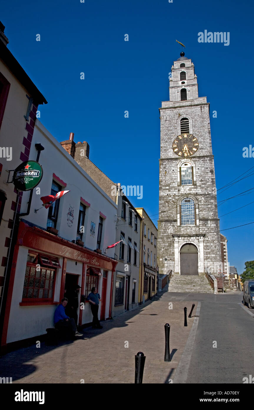 Church (in Ruins)Church · 1253 yd
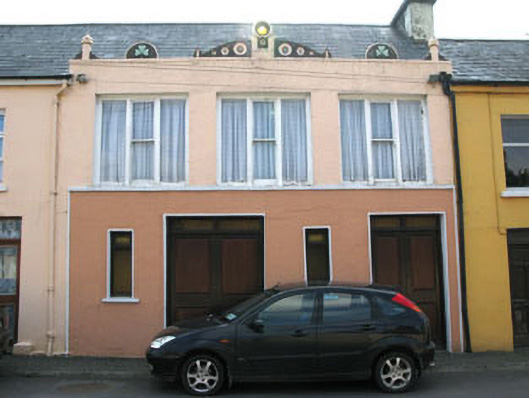 shop/retail outletshop/retail outlet · 1254 yd
 Moyny Bridge WalkWalking route · 1759 yd
 Castle DonovanCastle · 2.0 mi
 Castle Donovan (in Ruins)Castle, tower house · 2.0 mi
 Milane HillMountain / peak · 2.7 mi
 Nowen Hill SW TopMountain / peak · 3.1 mi
 Graveyard in ToughmacdermodyGraveyard · 4.9 mi
 Wild Atlantic WayVisitor information · 8.7 mi